

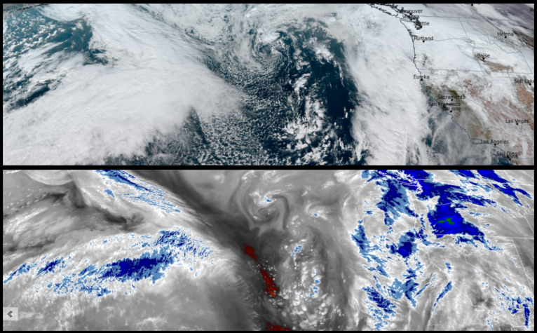
After a short break in the weather, the atmospheric river is forecast to continue through the weekend from central California up through northwestern Washington. Wind advisories and warnings from the National Weather Service are in place as winds from 20 to 35mph are forecast with gusts up to 55mph possible.
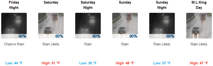
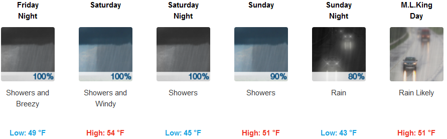
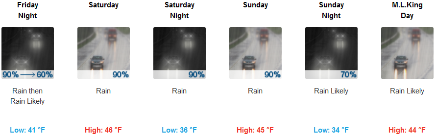
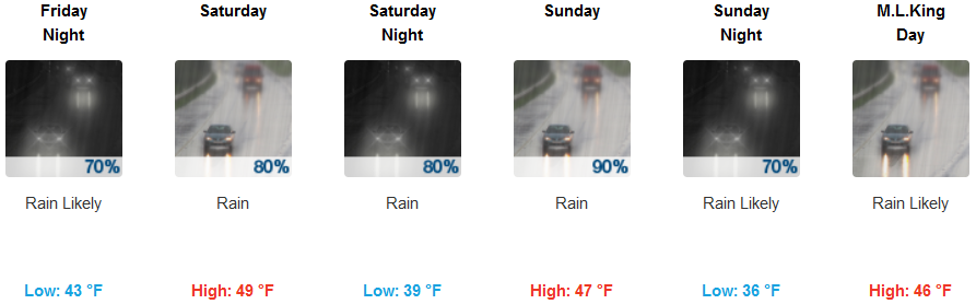
Rain is forecast everyday inland with light winds and relatively mild temperatures keeping snow levels dropping from 4800ft. to just above 3500ft. for most of the higher elevations starting Saturday evening. Inland temperatures are expected to be mostly mild with temperatures cooling as systems make their way into the region over the weekend with lows starting in the mid 40’s but falling to the low to mid 30’s as the weekend continues.
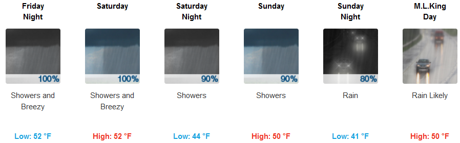
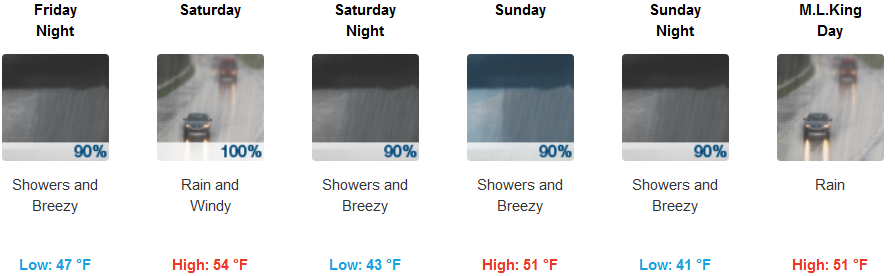
Along the coast rain is likely, with Flood Warnings and High Surf Advisories issued by the National Weather Service up and down the west coast. Showers and possibly a thunderstorm are forecast with wind gusts reaching up to 35mph forecast into the weekend. Temperatures along the coast are expected to be in the mid to upper 50’s for highs, with early morning lows in the low to mid 40’s.
Brookings:
Crescent City:
Gold Beach:
Cave Junction:
Grants Pass:
Medford: