

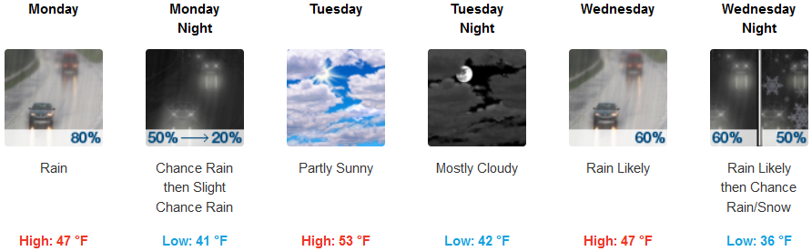
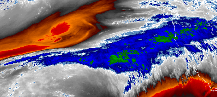
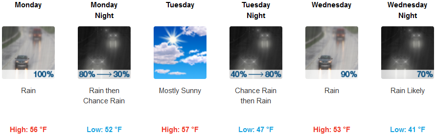
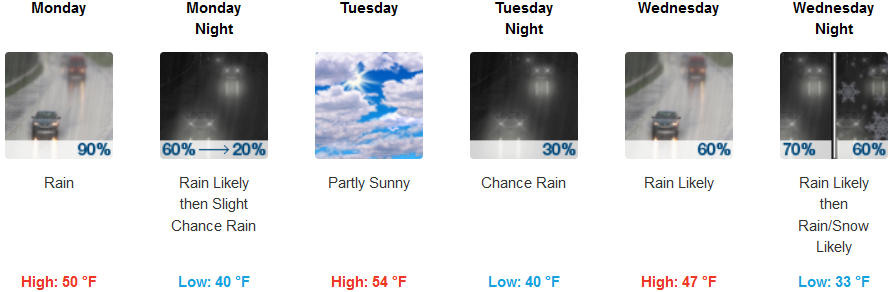
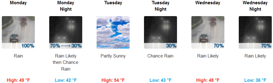
The weather pattern we’ve enjoyed the past two weeks will start to take a big turn starting very early Monday morning as a trough of low pressure funnels precipitation into the region. Periods of moderate to light rainfall are expected across southern Oregon and northern California Monday, Wednesday, and Thursday.
Inland regions can expect precipitation as early as mid morning, continuing throughout the day, with a slight chance into Tuesday. After a brief break, showers are forecast to return to the area Tuesday evening, after another much cooler air mass moves on east. Temperatures Monday and into Tuesday will be relatively moderate with highs in the low 50’s, however, Wednesday the cooler air mass will bring temperatures lower, and possibly snow to some passes including Cave Junction. Temperatures will be in the mid 40’s for lows early in the week, dropping to the low 30’s at higher elevations, with highs in the upper 40’s and low 50’s.
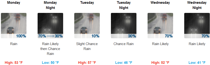
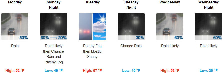
Coastal areas can expect to wake up to rain Monday morning to start the work week, continuing through out the day and possibly into Tuesday before another round of precipitation moves onshore late Tuesday. Wednesday, rain is likely through out the day, continuing into Wednesday evening as a cooler round of air pushes onshore. Early morning lows be in the upper 40’s to start the week with some pockets of fog, dropping to the low 40’s in most areas with possibility of the upper 30’s Wednesday. High temperatures will remain mild, reaching the mid 50’s throughout the week.
Brookings:
Crescent City:
Gold Beach:
Cave Junction:
Grants Pass:
Medford: