

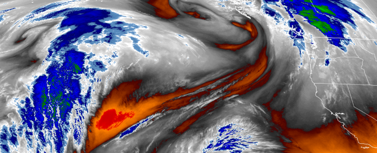
The upper-level energy responsible for the sunny skies and drier days as well as the brief and light precipitation along coastal areas earlier in the week, is slowly beginning to move out of the area. Air Stagnation Advisories in the southern Oregon region have expired, and precipitation is not in the forecast into the weekend, although unstable air filling the void may generate a very slight chance of isolated showers.
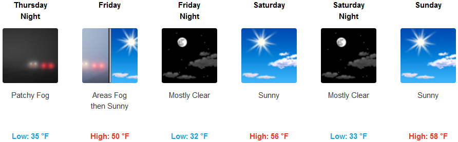
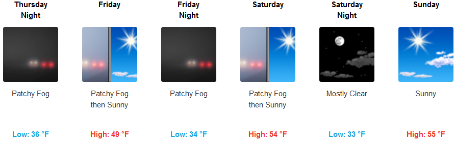
Inland areas can expect much of the same going into the week end, although early morning fog should be expected in areas that have proven to be prone to fog.Temperatures will be relatively cool early mornings, with temperatures dropping to the low to mid 30’s. High temperatures will increase as the week progresses reaching as high as upper 50’s to low 60’s, and lows in the low to mid 30’s.
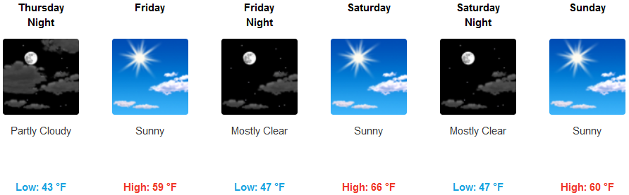
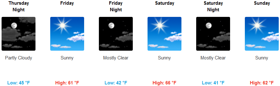
Southern Oregon coastal areas are forecast to experience mild temperatures with partly cloudy skies and a low temperature gradient. Low temperatures are forecast to remain in the mid to upper 40’s as the weekend progresses. High temperatures are expected to continue to be mild and warm reaching as high as the low 60’s going into the weekend.
Brookings:
Crescent City:
Gold Beach:

Cave Junction:
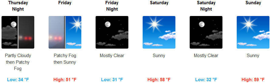
Grants Pass:
Medford: