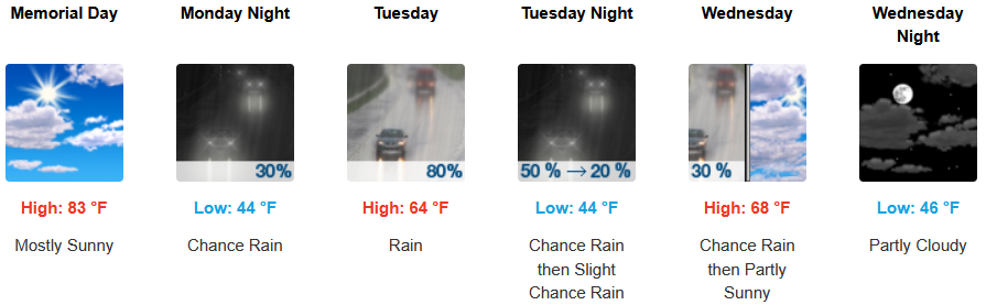


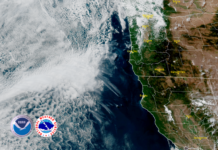














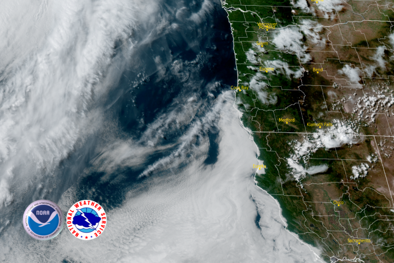

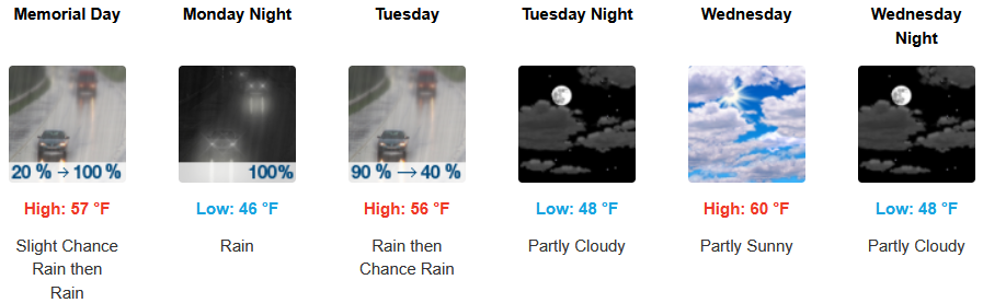
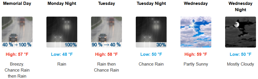
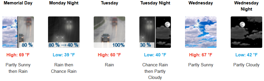
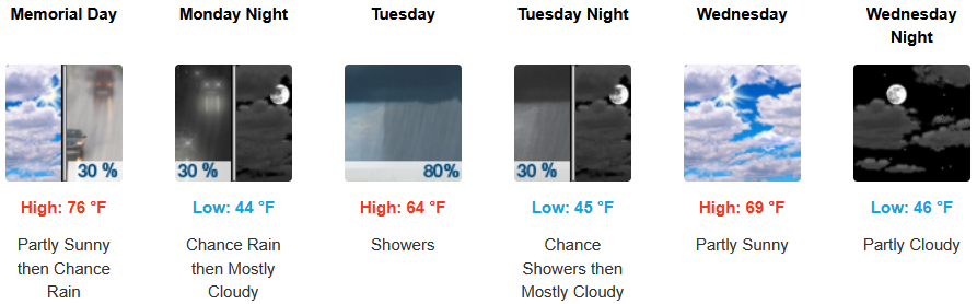
The ridge of high pressure responsible for the sunny skies and above average temperatures we’ve enjoyed into the weekend, is expected to weaken and move off to the east as the holiday weekend progresses, changing the weather pattern and bringing chances of rain across the region as early as Monday.
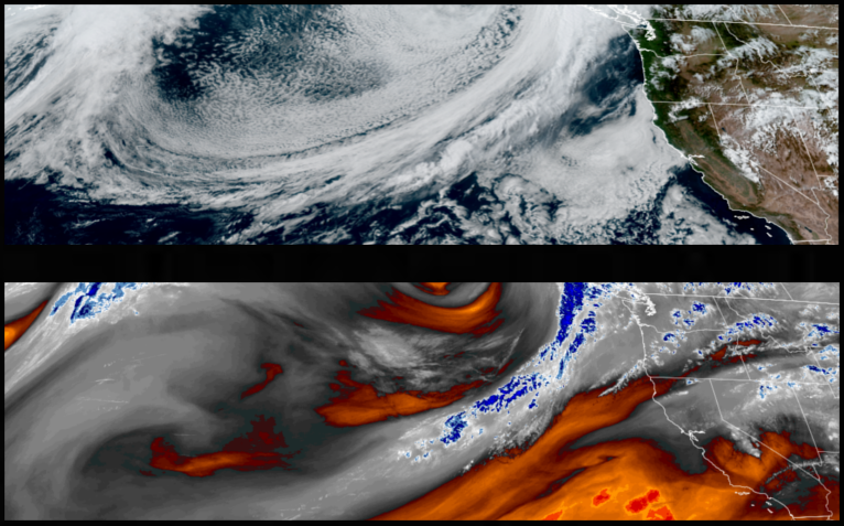
Inland areas are forecast to see mostly clear skies into Monday before rain enters the forecast as early as Monday evening. Afternoon highs will fall from the 80’s to the low 60’s into midweek, with lows forecast to be in the mid to upper 40’s..
Areas of localized fog is expected along the coast before chances of rain enter the forecast as early as Sunday evening. A cooling low pressure system is expected to move into the northwest, cooling temperatures along the coast with lows expected to be in the low 40’s to mid 50’s, with highs expected to reach the upper 50’s to mid 60’s.

Brookings:
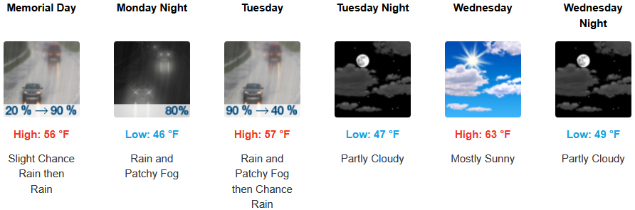
Crescent City:
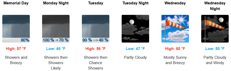
Gold Beach:
Port Orford:
Cave Junction:
Grants Pass:
Medford: