

Temperatures are expected to cool to start the workweek with showers likely starting as early as Monday morning in some areas continuing into midweek before ushering in cooler breezy conditions by midweek.
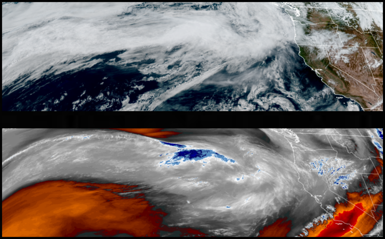
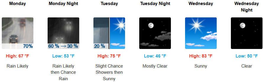
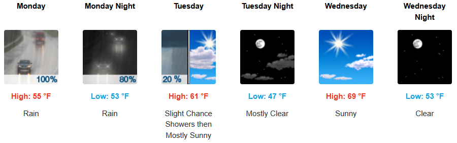
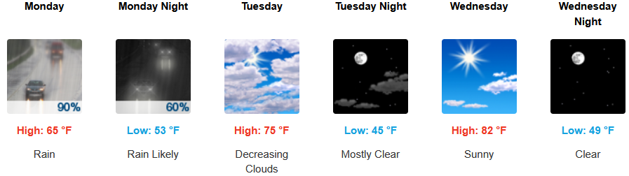
Significant chances of rain are forecast for inland areas starting Monday, continuing into midweek before high pressure return late in the week. After starting the workweek with cooler temperatures, afternoon highs are expected to reach the upper 60’s warming to the mid to upper 70’s, with lows in the upper 40 ‘s to low 50’s..
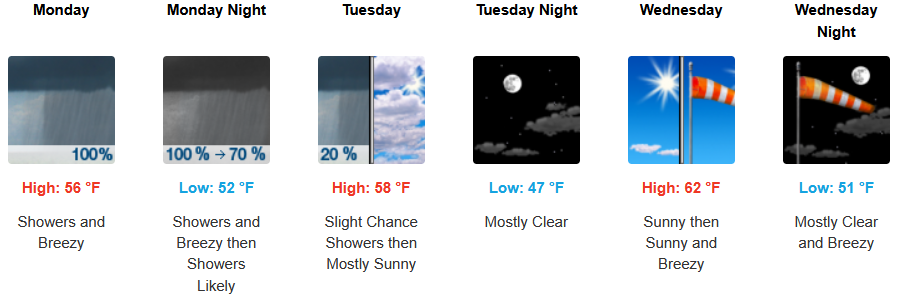
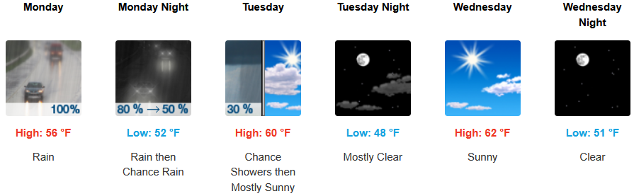
Along the coast, an early morning marine layer along the immediate coastline is expected to continue as rain moves into the region as early as Monday morning, continuing into midweek. Temperatures are expected to be in the upper 40 ‘s for lows, with highs expected to be in the mid to upper 60’s as the workweek progresses.

Brookings:
Crescent City:
Gold Beach:

Port Orford:
Cave Junction:

Grants Pass:
Medford: