

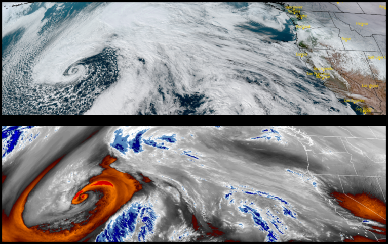
After a series of powerful weather systems impacted the region, a brief break in the weather pattern will bring partly cloudy skies and sunshine for a brief respite early in the work week with more wet weather on the horizon. Local rivers crested Sunday, with the Smith River cresting at 35ft, the Chetco crested just under 18ft., with the Rogue River cresting just under 15ft., and the Coquille cresting at just over 22ft.
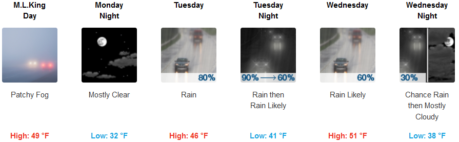
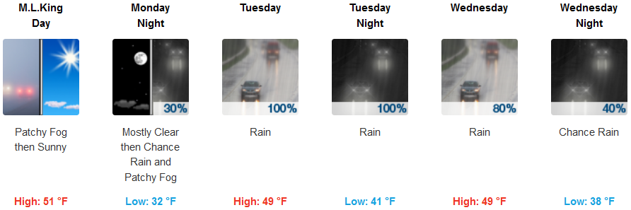
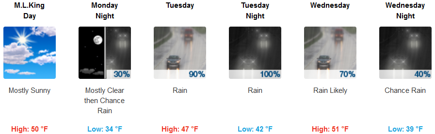
Inland areas are forecast to wake up to partly cloudy to sunny skies to start the work week before another weather system approaches very early Tuesday morning, continuing through mid-week. Temperatures will remain cool with lows in the upper 30’s to low 40’s and highs reaching the upper 40’s to low 50’s.
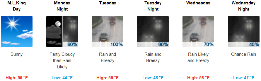
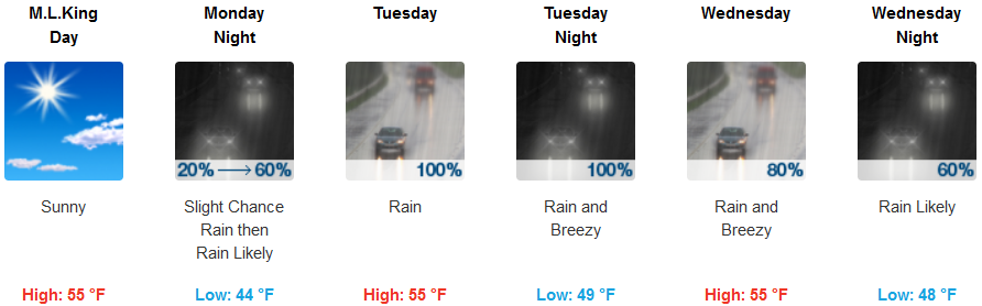
Coastal areas, Monday is expected to be mostly sunny to start the day, with clouds moving in late and increased chances of precipitation beginning late Monday evening or very early Tuesday morning, continuing through mid-week. Temperatures will be in the low 40’s for lows, with highs in the mid 50’s consistently.
Brookings:
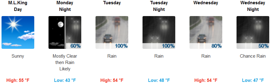
Crescent City:
Gold Beach:
Cave Junction:
Grants Pass:
Medford: