

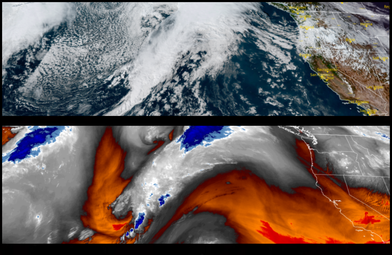
The cold front that moved into the region to start the work week has moved to the east and a new system is forecast to continue cooler temperatures and bring more precipitation, predominantly to the coast, as well as northern California and southern Oregon to finish the work week.
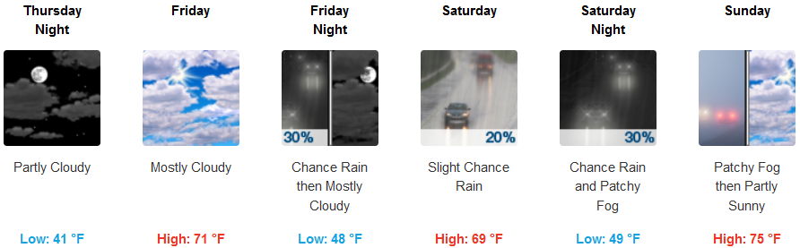
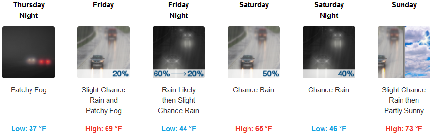
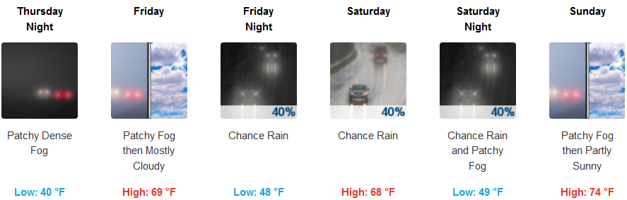
Inland areas can expect partly cloudy skies Thursday morning, continuing into the weekend, with a possibility of showers developing Friday through Sunday. Temperatures are expected stay in the mid to upper 60’s for afternoon highs with lows dropping into the low 40’s.
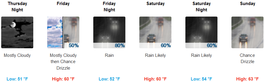
Weather along the coast is forecast to be much different, with partly cloudy skies Thursday developing into significant chances for rain. Temperatures could warm slightly as the system progresses into the weekend with coastal lows ranging in the mid 40’s to the mid 50’s and afternoon highs getting into the low to mid 60’s.
Brookings:
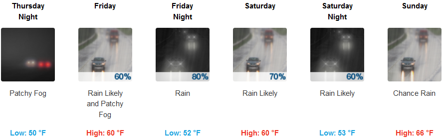
Crescent City:
Gold Beach:

Cave Junction:
Grants Pass:
Medford: