

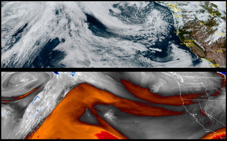
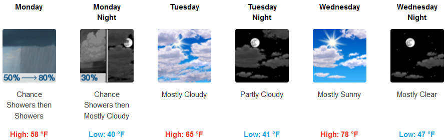
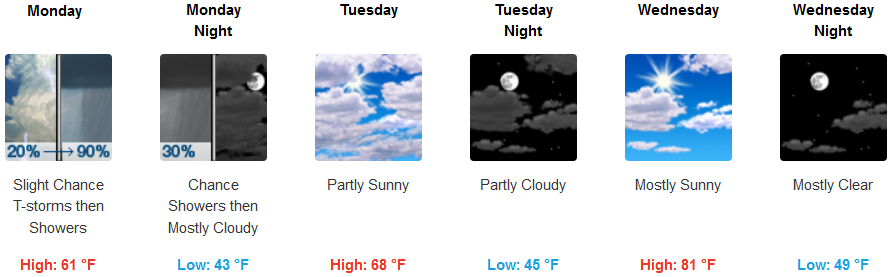
Big changes are forecast as an upper-level area of low pressure pushes down from the Gulf of Alaska into the region bringing with it substantial chances for precipitation in the form of scattered rain showers with unseasonably cold temperatures and the possibility of frost in some areas.
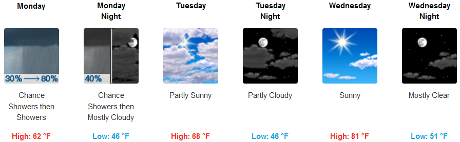
Inland areas are forecast to see showers and possibly thunderstorms with slight wind gusting to 20mph, and frost only at the highest elevations. Skies will begin to clear Tuesday, leading to partly cloudy skies and a gradual rise in temperature. Lows will drop to the low 40’s and upper 30’s, with afternoon highs only getting to the low 60’s, warming to the low 80’s by mid week.
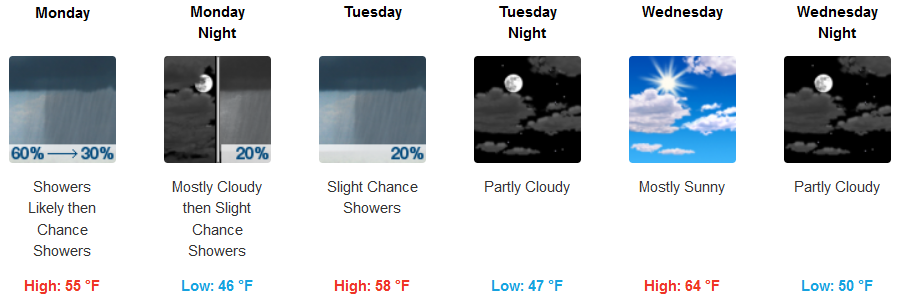
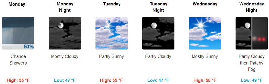
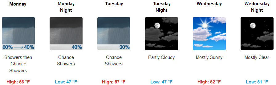
Along the coast, showers are expected very early Monday morning, turning to mostly cloudy skies with chances of showers into Tuesday. Temperatures along the coast will remain mild with lows only getting to the low 40’s, and afternoon highs in the upper 50’s early in the week, warming to the mid 60’s Wednesday.
Brookings:
Crescent City:
Gold Beach:
Cave Junction:
Grants Pass:
Medford: