

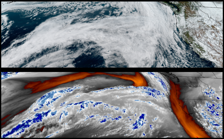
The unstable air that preceded the upper-level low responsible for this past wet weekend, has pushed inland and is being followed by another upper-level low pressure system that is forecast to produce rain across the northwest and northern California to start the work week and through midweek.
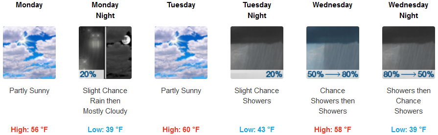
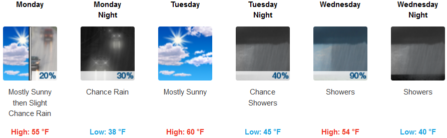
Inland areas are expected to continue to see unstable air possibly produce localized pockets of rain through Tuesday before showers return late Tuesday into early Wednesday morning. Snow levels will remain at the highest passes early in the week before low temperatures only reach the low 40’s midweek with highs in the mid to upper 50’s.
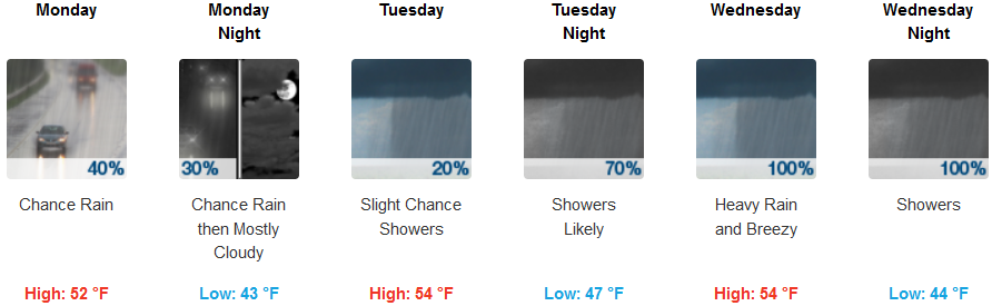
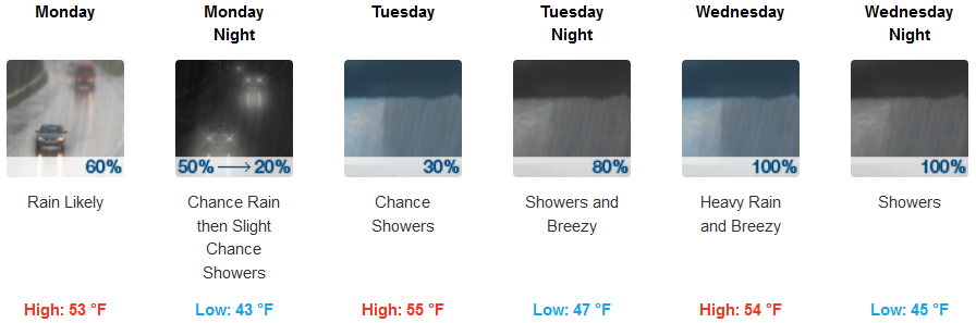
The coast is forecast to have chances of rain starting as early as Monday morning and continuing into Tuesday before significant chances of rain return late Tuesday and continue through midweek. Low temperatures will be in the mid 40’s with highs in the mid 50’s.
Brookings:
Crescent City:
Gold Beach:
Cave Junction:

Grants Pass:
Medford: