

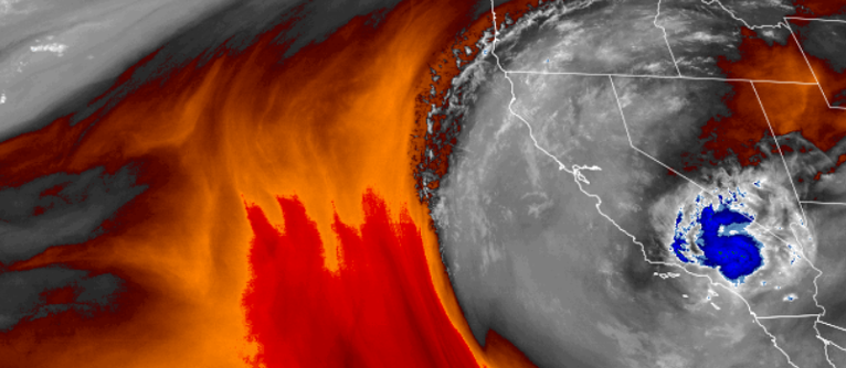
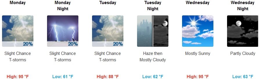
A surge of monsoonal moisture circulating through the region from the southwest, will bring shower chances and chances of isolated thunderstorms to northwest California and areas of southern Oregon on Monday and Tuesday.
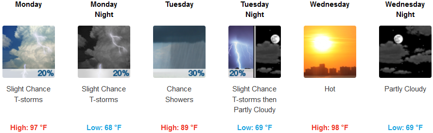
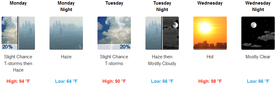
Inland, there will be a slight chance of thunderstorms Monday, then isolated showers and thunderstorms later in the day. Widespread haze will continue from multiple wildfires in the area, however, the Partly sunny skies and hot temperatures will return. High temperatures will cool early in the week returning to near triple digits by mid week with high’s reaching 97, and lows falling to the mid 60’s in the early hours.
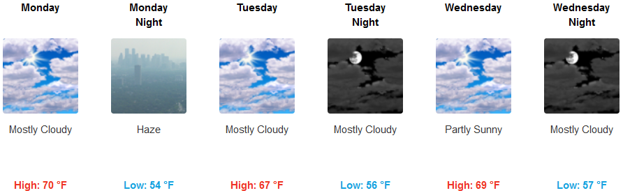
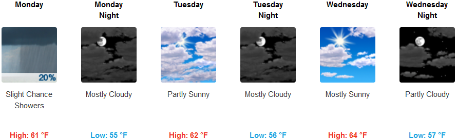
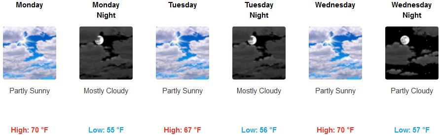
On the coast, haze from wildland fire smoke will circulate into the area as the southern unstable airmass move into the region. A slight chance of rain is forecast along the coast on Monday, but partly sunny skies will warm coastal area to near 70 by mid week, while lows linger in the low 50’s.
Brookings:
Crescent City:
Gold Beach:
Cave Junction:
Grants Pass:
Medford: