

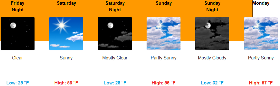
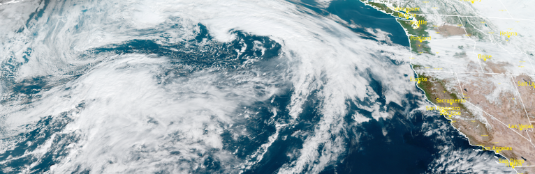
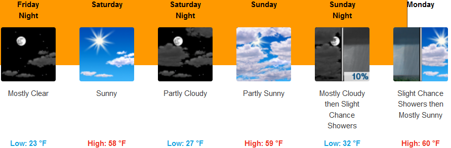
The ridge of cold air circulating off the northwest coast has shifted to the east, however, it continues to steer weather systems and precipitation to the north while continuing to push cool air into the region into the week end with the next chance for precipitation possibly to start the next work week.
Inland areas are forecast to continue to see patchy dense fog before 11:00am with the possibility of patchy dense freezing fog in low lying areas before 11am. Skies are expected to be mostly sunny with a light wind. Afternoon highs should reach the mid 50’s and lows in the upper 20’s.
The coast will see mostly sunny skies and slightly warmer temperatures than those expected inland. Temperatures are expected to be in the mid to upper 30’s for lows in the morning with some areas of early morning fog possible, and highs in the mid 50’s.
Brookings:
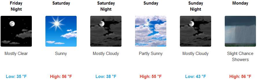
Crescent City:
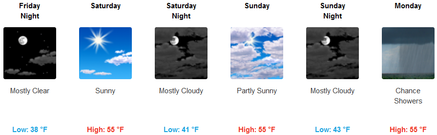
Gold Beach:

Cave Junction:
Grants Pass:

Medford: