

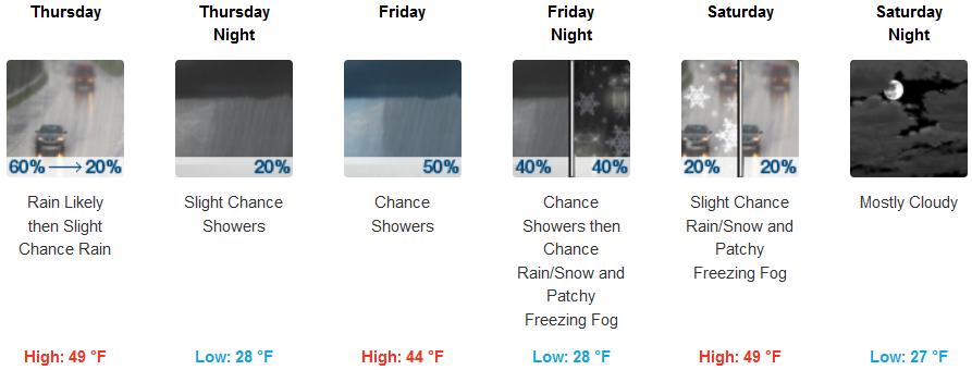
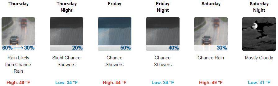
A trough of cold air is behind the last weather system that is moving out of the area to the east, a short period of unstable cool air will follow as Thursday sees mostly cloudy skies and localized showers. This new round of cold air is forecast to bring snow levels back down to approximately the 2000 ft. level as another quick moving round of moisture enters the region Friday.
As the previous weather system moves east, the precipitation pattern has pushed further south, with approximately an additional 1/4″ of forecast through Thursday evening.
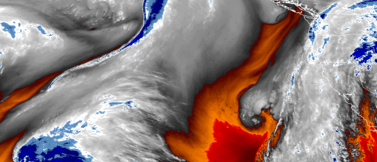
Inland areas can expect very cold temperatures to return very early Friday morning morning dropping to the mid 20’s going into Saturday and Sunday. Rain at lower elevations and snow above 2000′ ft. are forecast into late Saturday before becoming mostly cloudy with cold temperatures. High temperatures are only expected to reach as high the mid to upper 40’s through the weekend.
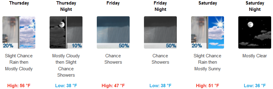
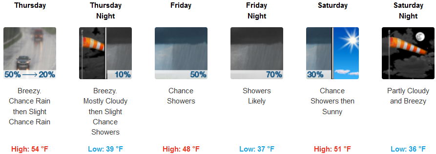
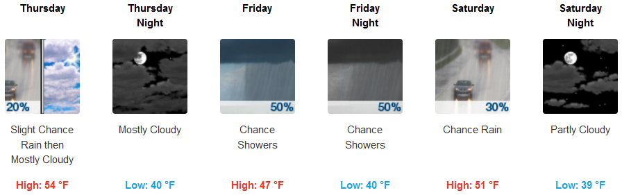
On the coast, chances of rain will subside as early as Thursday morning, leaving mostly cloudy skies as the next system gets ready to move in Friday. Rain is likely starting late Thursday, and continuing into Saturday. High temperatures will hover in the low 50’s, with lows getting into the upper 30’s as the weekend progresses.
Brookings:
Crescent City:
Gold Beach:
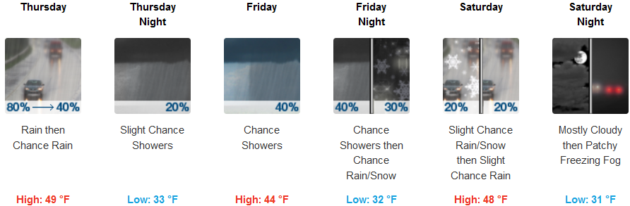
Cave Junction:
Grants Pass:
Medford: