

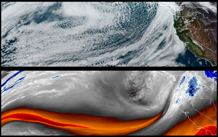
More low pressure dropping down from the Gulf of Alaska is forecast to push a cold front through southern Oregon and northern California starting late Wednesday and continuing through the rest of the work week and into the weekend. This infusion of cold air is expected to push unstable air into the area, creating considerable chances for localized showers and possibly snow as the week progresses.
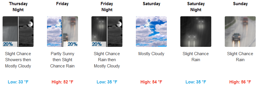
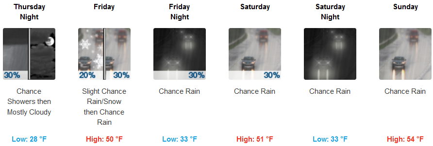
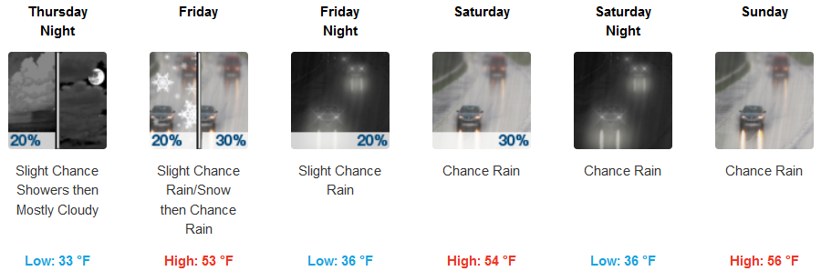
Inland areas are expected to wake up to chances of showers starting Thursday morning as the cold front moves southeast, with an even colder round of unstable air behind it continuing the pattern of localized showers and snow possible at the highest passes and elevations. Cold temperatures will be in the low to mid 30’s, with afternoon highs in the mid 50’s.
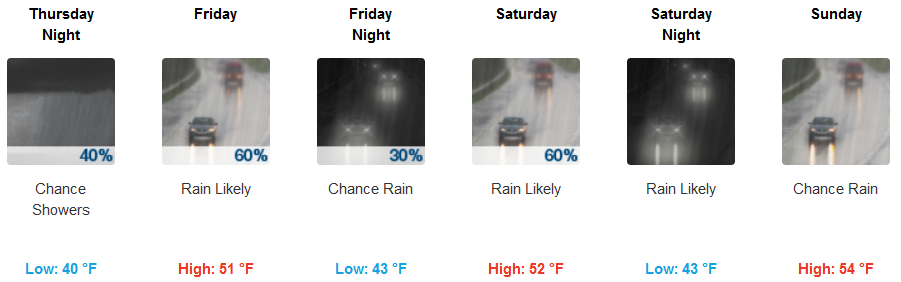
Along the coast, showers are expected before noon on Thursday, and continuing as pockets or waves of unstable air pushes onshore, again with this weather pattern continuing with higher chances of precipitation developing through the weekend. Morning low temperatures will linger from the upper 30’s to low 40’s, with afternoon highs reaching the low to mid 50’s.
Brookings:
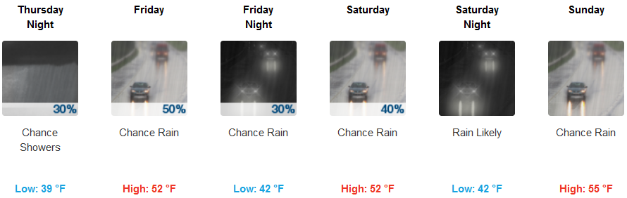
Crescent City:
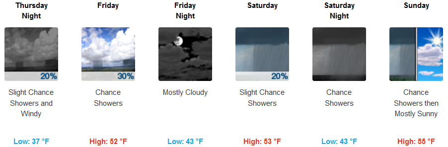
Gold Beach:
Cave Junction:
Grants Pass:
Medford: