

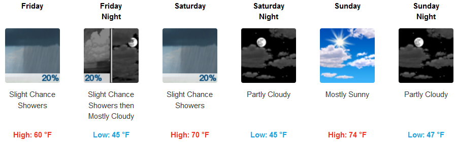
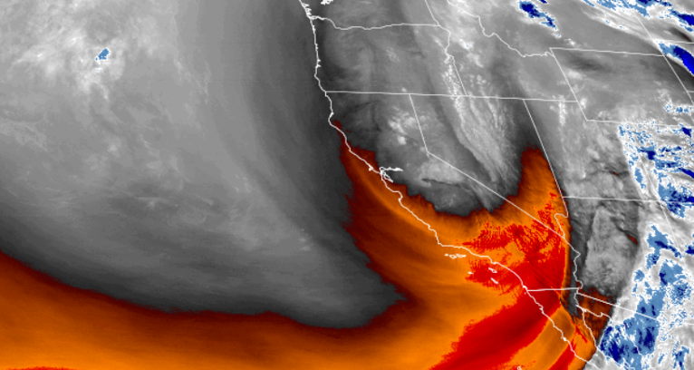
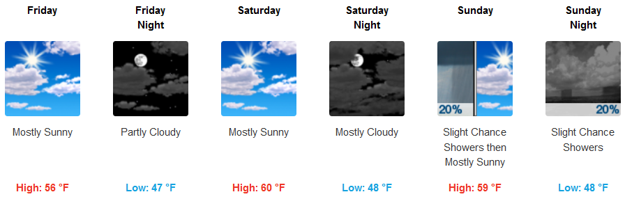
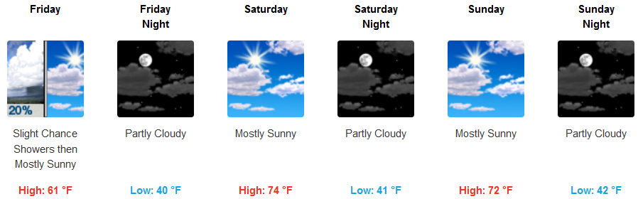
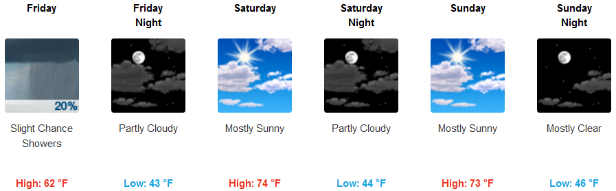
A deep upper-level low settled into the western U.S. and continues to circulate unsettled weather to the region, and will slowly move eastward over the next few days. As the system slowly moves east, off-shore systems will begin to enter, continuing the low temperatures and localized pockets of precipitation.
Inland areas of the valley continue to have chances of isolated showers, with chances decreasing as we move later in the week end. Temperatures will remain below normal for the region with lows in the low 40’s and highs only reaching the mid 70’s under partly cloudy skies late in the week end.
On the coast a north wind will keep the temperatures cool with partly cloudy skies as the work week ends, however, clouds will increase Saturday and Sunday, as a very slight chance of precipitation works its way into the forecast late Sunday evening. Temperatures will remain in the mid 40’s for lows with highs only getting to the mid 60’s.
Brookings:
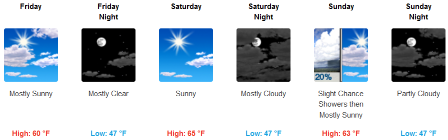
Crescent City:
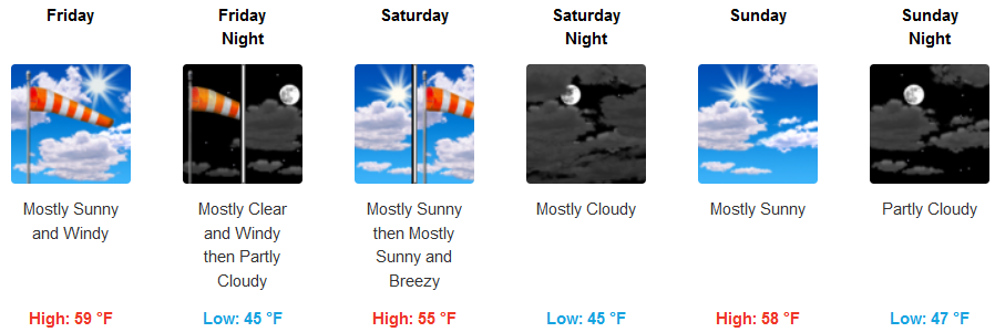
Gold Beach:
Cave Junction:
Grants Pass:
Medford: