

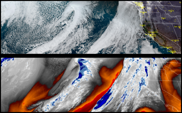
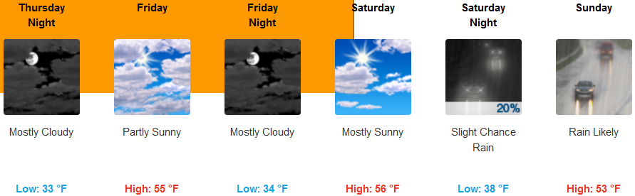
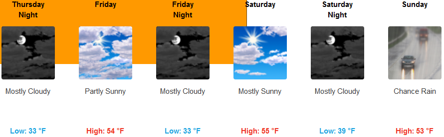
The dry weather pattern over the past week is forecast to continue, after a short weak chance of precipitation Thursday along the coast, well into the week end before the next round of wet weather works its way into the region Sunday.
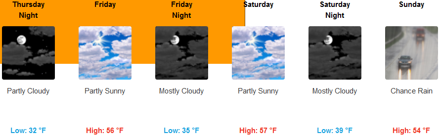
Inland areas are forecast to see partly cloudy skies late into the weekend as another system works onshore Sunday. Cold temperatures will remain with early morning lows in the low 30’s and afternoon highs in the low 50’s.
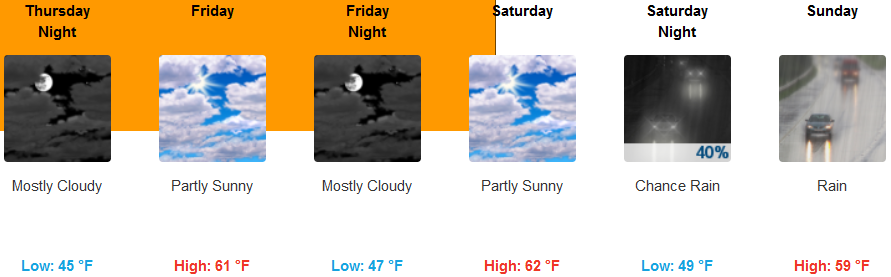
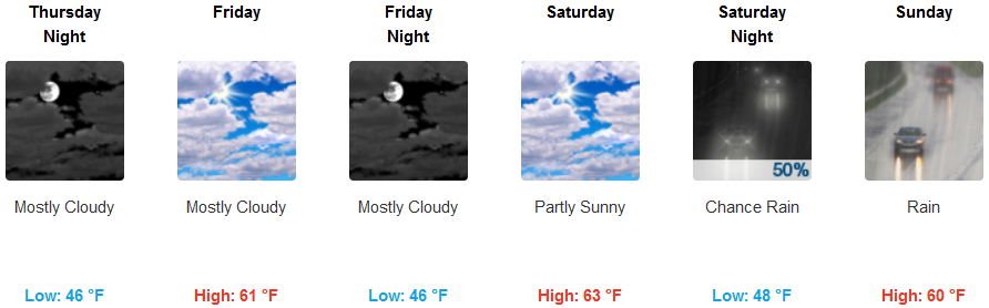
Along the coast, areas to the north could wake up to showers Thursday morning, clearing to mostly cloudy skies mid week before another weather system begins to move onshore Saturday with rain expected Sunday. Morning lows are expected to be in the low to mid 40’s and highs in the low to mid to upper 50’s.
Brookings:
Crescent City:
Gold Beach:

Cave Junction:
Grants Pass:
Medford: