

The current round of extreme heat has lengthened and increased the area of Excessive Heat Warnings issued by the National Weather Service and is forecast to continue into the weekend through Saturday, with Thursday and Friday being the hottest days, cooling slightly Sunday afternoon.
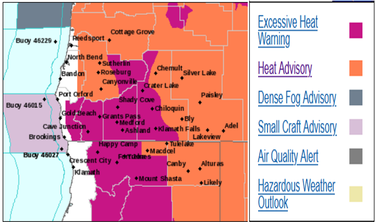
Mostly clear and hot conditions are expected to persist across most of the interior through the end of the work week, with a very high risk of heat related illnesses.
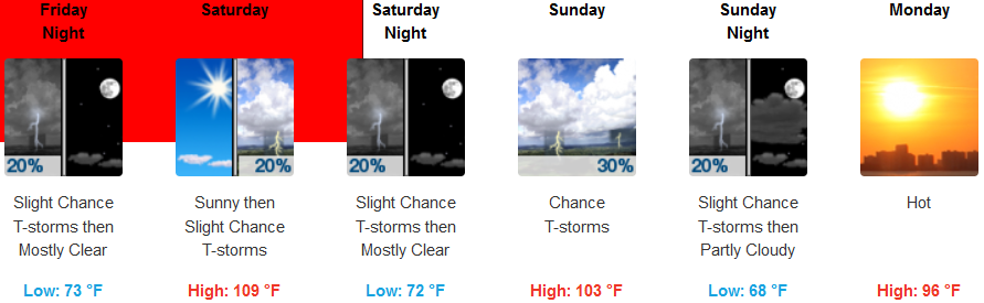
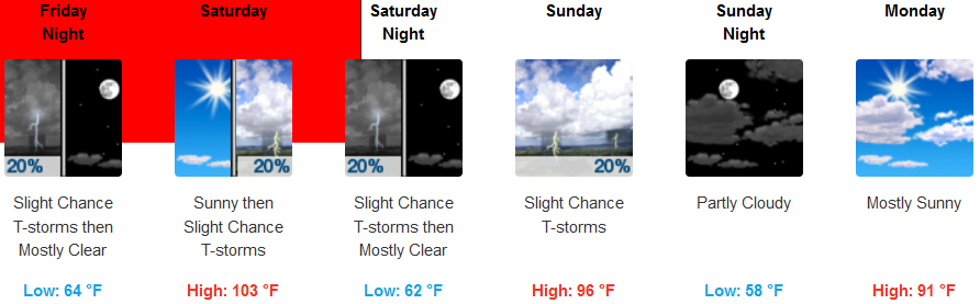
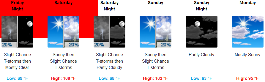
Much of southern Oregon and locations in northwestern California saw high temperatures top out several degrees hotter Thursday afternoon, and little to no improvement is expected for Friday. ‘Cooler’ air will begin to filter into the region later this weekend and into early next week. Interior temperatures are calling for highs reaching 112 degrees Friday, cooling ever so slightly to 103 by Sunday and possibly under 100 to start the next week. Evening lows will continue to offer little to no relief as very warm overnight temperatures persist into the morning only cooling to the mid 70’s.
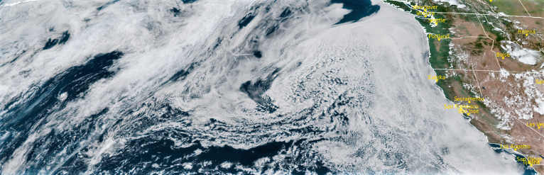
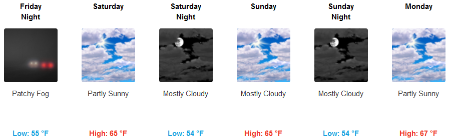
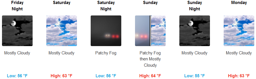
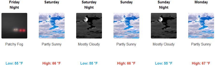
Along the coast, persistent high stratus marine clouds and fog will keep coastal areas seasonably mild, with afternoon sunshine. Unstable air from a weather system affecting the southwest may cause a few thunderstorms over northwestern California each afternoon through the weekend, and temperatures are expected to continue to be mild high temperatures remaining in the mid 60’s for most of the coast.
Brookings:
Crescent City:
Gold Beach:
Cave Junction:
Grants Pass:
Medford: