


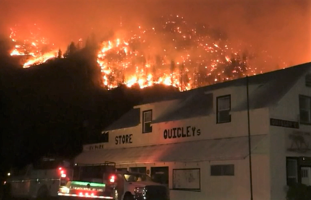
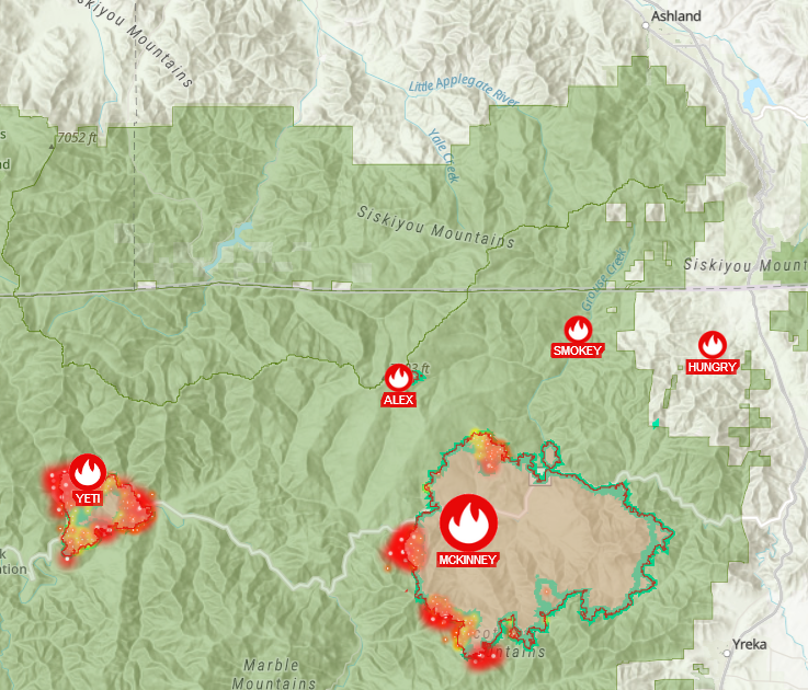
As of Friday evening, exactly one week after first reports, the McKinney Fire in Siskiyou County, reached 59,670 Acres with the Klamath River community under Evacuation Orders and mandatory Level 1 evacuations stretching from Happy Camp, to Yreka.
Since official updates Monday, August 1st, the McKinney Fire averaged 1,434 acres of growth a day, growing an estimated 7,172 acres in the past 5 days from 52,498 total acres to 59,670 as of late Friday evening.
Reports from the Siskiyou County’s Office of Emergency Services Friday, August 5th, updated information on the total number of homes and structures destroyed by the McKinney Fire. According to the report, 274 structures have been inspected, 132 total structures consisting of homes, garages, outbuildings, commercial buildings have been destroyed of which 87 have been homes.
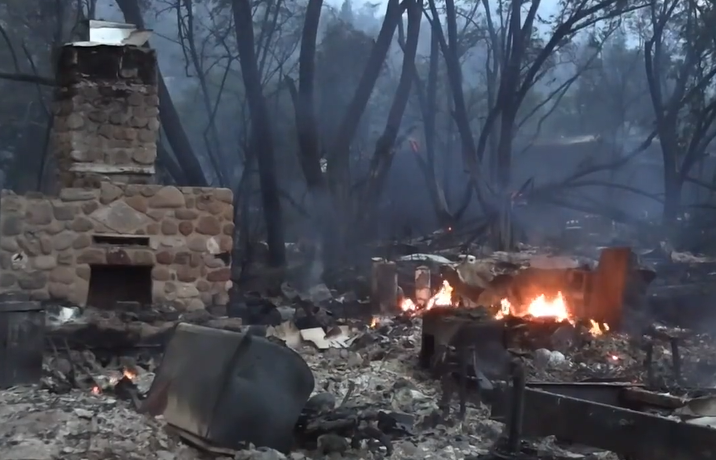
Last Sunday fire crews discovered the first of now four fatalities attributed to the McKinney Fire after finding a couple who died in a car in their driveway off Highway 96. According to the Siskiyou County Sheriff’s Office, two more bodies were found in two homes along Highway 96 on Monday.
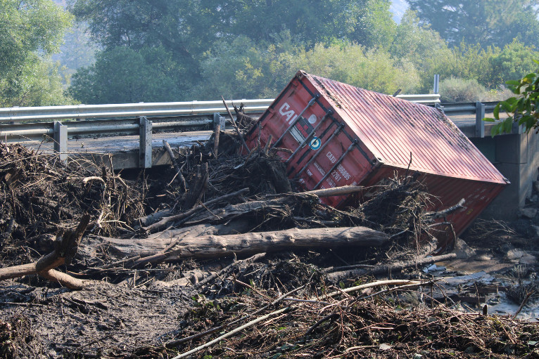
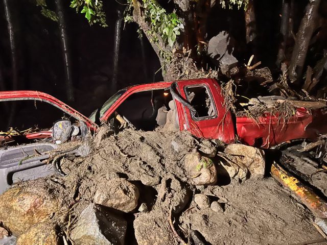
On Tuesday night, August 2nd, a debris flow caused a bridge near Humbug Rd. to give out within the evacuation zone during a flash flood event within the burn scar, sending one person working the fire to the hospital with non-life threatening injuries.
More than 2,400 fire fighting personnel from across the West are working to contain the fire making tremendous progress reaching 30% containment by late Friday. Weather is playing a major role in this fire’s behavior as isolated thunderstorms continue to be forecast.
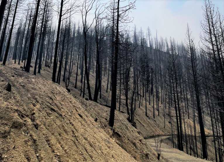
Contingency lines from bulldozers are in place around much of the fire’s perimeter should the firefighters’ lines not hold, in order to protect the communities at risk.