

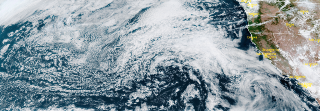
As moisture is circulated up into the area from the weather system to the south, thunderstorms will remain a persistent threat through the week with higher probabilities forming east of the valley, however, thunderstorm activity should not be as intense compared to last weekend’s display.
Between 2:00pm Monday, August 1st, and 11:00pm Wednesday August 3rd, there were 2,861 lightning strikes, and the continued circulation into eastern Oregon is expected to continue as Red Flag Warnings have been issued by the National Weather Service. Hot temperatures will likely develop once again across inland valleys.
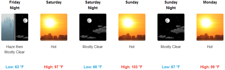
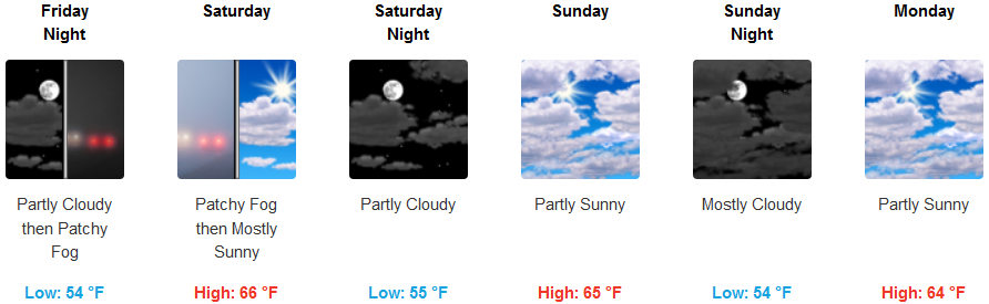
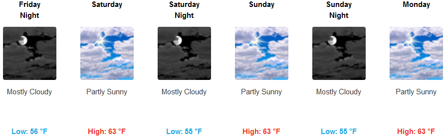
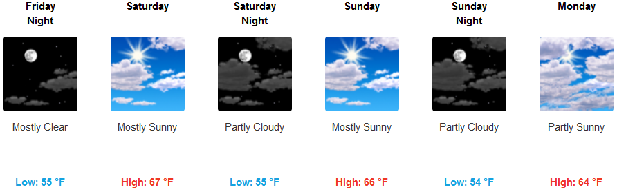
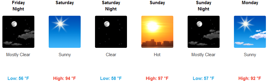
Afternoon temperatures are forecast to be near normal across the interior while temperatures increase slightly, possibly reaching triple digits this weekend. Typical summer coastal weather is expected with periods of coastal low clouds during the nights and mornings and partial sun is expected each afternoon with highs reaching the upper 60’s in some coastal locations.
Brookings:
Crescent City:
Gold Beach:
Cave Junction:
Grants Pass:
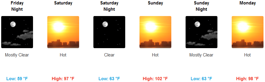
Medford: