

Mostly clear skies and drier weather with localized hazy conditions are forecast to finish the work week with locally breezy conditions and cloudy skies sdeveloping as the week progresses. Late in the weekend, cloudy skies and the possibility of wet weather is expected to develop as an upper level low pressure system moves into the region.
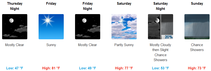
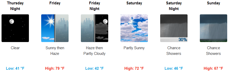
Inland areas should expect mostly clear skies into the weekend, with clouds developing late and precipitation possible Sunday ant into Monday. Temperatures are expected to cool to below normal with afternoon highs in the dropping to the mid to low 70’s by Sunday and lows falling to upper 40’s.
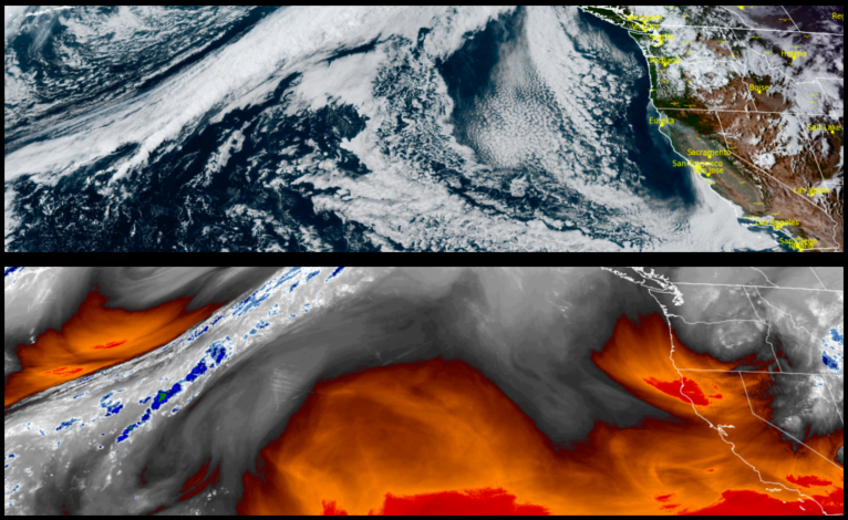
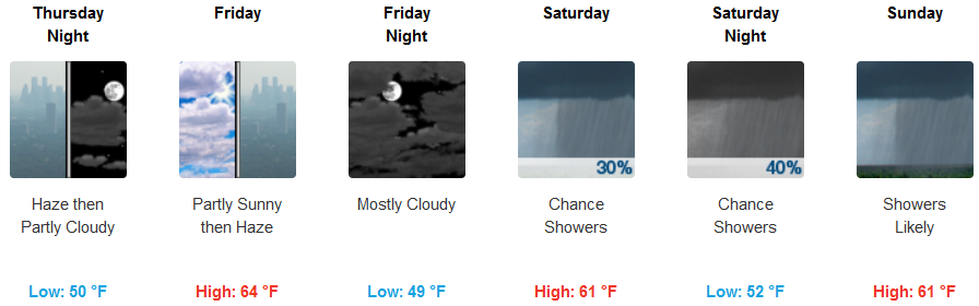
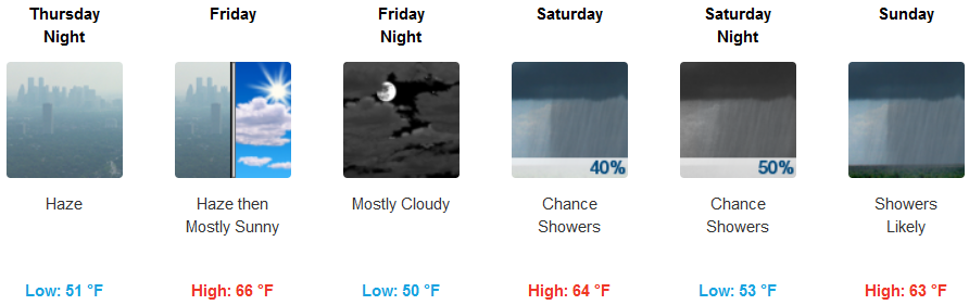
Along the coast, local fires have prompted the National Weather Service to issue a Air Quality Alert as local regional fires continue to produce hazy smokey conditions along the southern Oregon coast. Chances of showers move into the area as early as Saturday with precipitation likely Sunday. High temperatures are expected to cool as the week progresses with highs dropping to the low 60’s later in the weekend.
Brookings:
Crescent City:
Gold Beach:
Cave Junction:
Grants Pass:
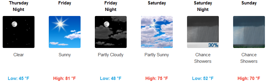
Medford: