

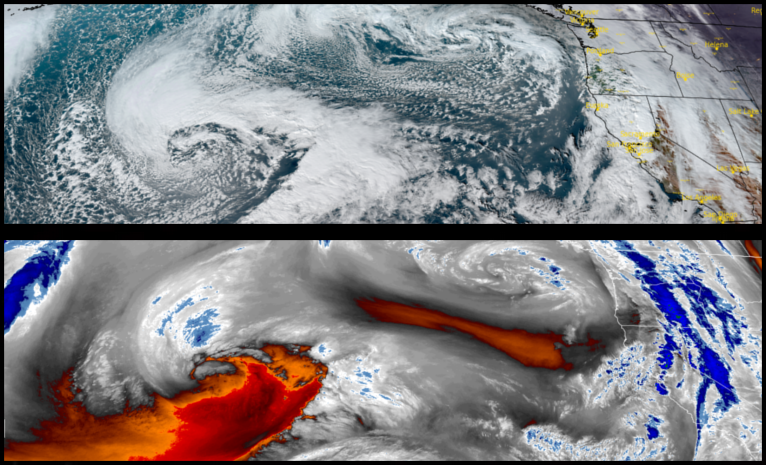
A low pressure weather system is forecast to usher in an unsettled weather pattern over the next couple of days producing rain and the possibility snow at the highest elevations snow as a larger, stronger low pressure systems gains strength off-shore.
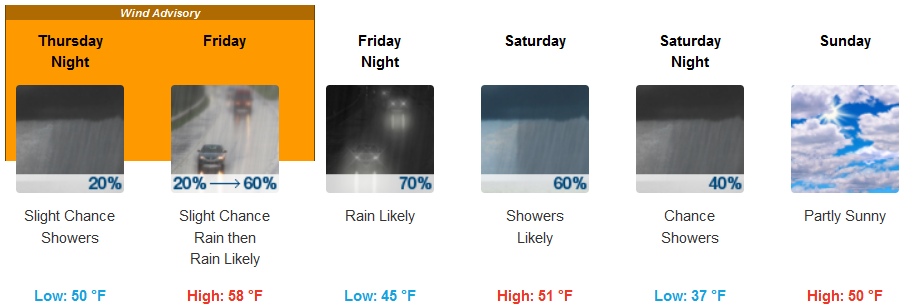
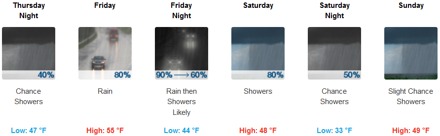
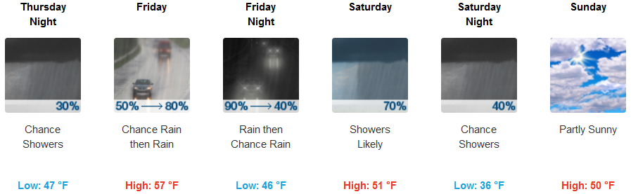
Localized fog under mostly clear skies are expected inland Thursday morning, before afternoon skies become increasingly cloudy as a cold front begins to move into the area. A chance of rain is expected to begin Thursday, continuing through Saturday. Morning lows will be in the low 40’s with highs in the low 50’s.
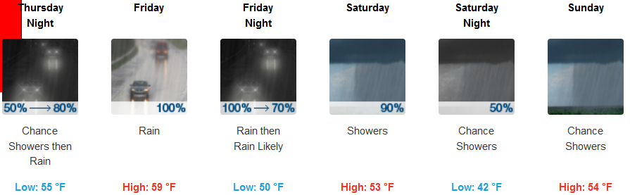
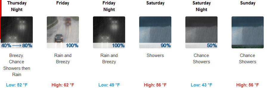
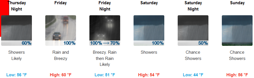
Along the coast, a high astronomical tide combined with breaking waves from a huge swell pushed ahead of low pressure off the coast are expected through Thursday. Rain is expected Thursday continuing through the weekend. Temperatures along the coast are forecast to stay mild with lows along the coast in the upper 40’s with afternoon highs in the mid 50’s.
Brookings:
Crescent City:
Gold Beach:
Cave Junction:
Grants Pass:
Medford: