

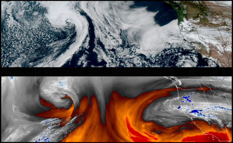
The weather system bringing the localized thunder and lightning and areas of showers over the weekend is expected to move off to the east leaving even slighter chances of precipitation behind, ushering in a more stable airmass followed by warmer afternoon highs and mostly clear skies through midweek.
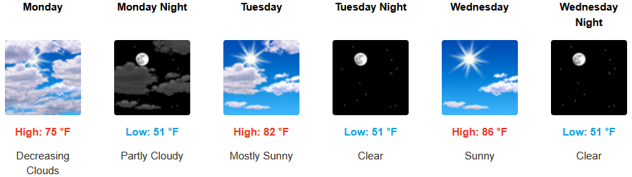
Inland areas are forecast to see partly cloudy skies and warmer afternoons after the low pressure system that brought the unstable air and pockets of rain over the weekend moves out of the region Monday. Afternoon highs could reach the low to mid 80’s by midweek, with lows forecast to be in the low 50’s.
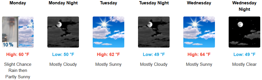
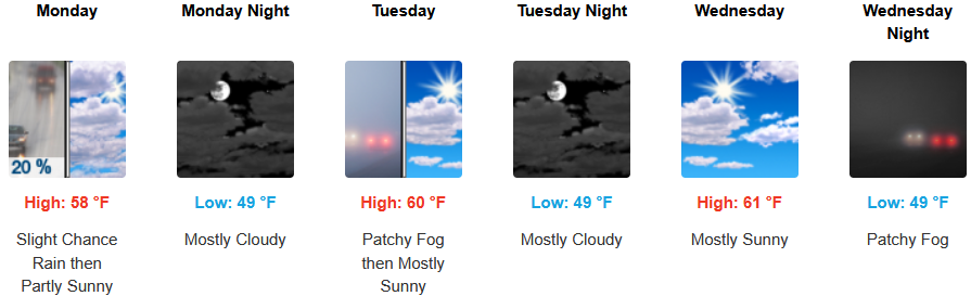
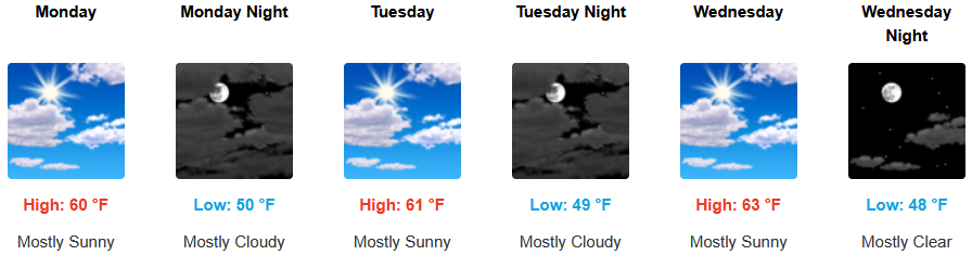
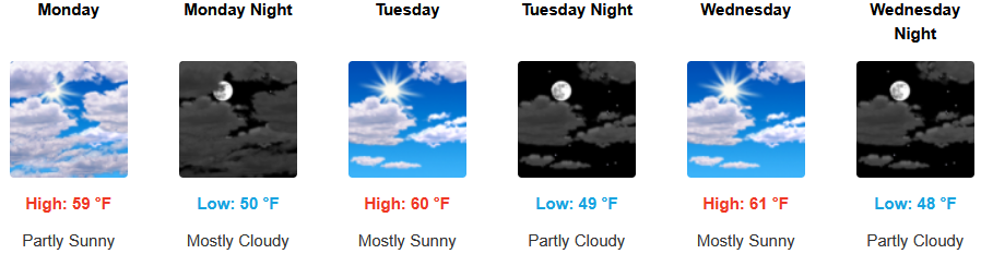
Along the coast, slight chances of precipitation continue through Monday before being replaced by mostly clear skies and warming temperatures continue through midweek. Lows are expected to be in the upper 40’s to low 50’s with highs expected to increase as the workweek progresses to the low to mid 60’s.

Brookings:
Crescent City:
Gold Beach:
Port Orford:
Cave Junction:
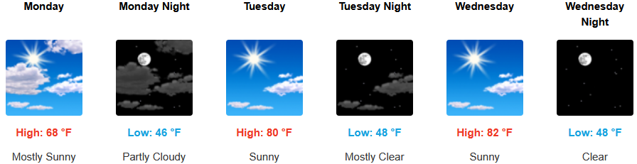
Grants Pass:
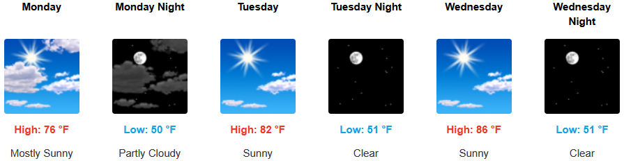
Medford: