

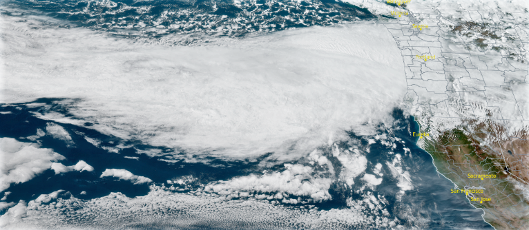
A substantial weather system has made its way into the region, followed by a considerable amount of moisture ushered in by strong winds and a cold front, prompting extensive Winter Storm and High Wind Warnings through out Oregon and northern California.
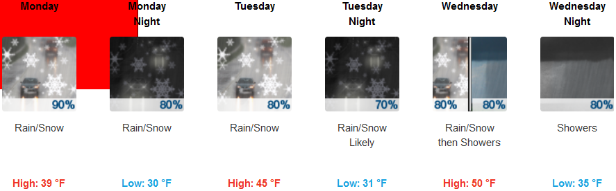
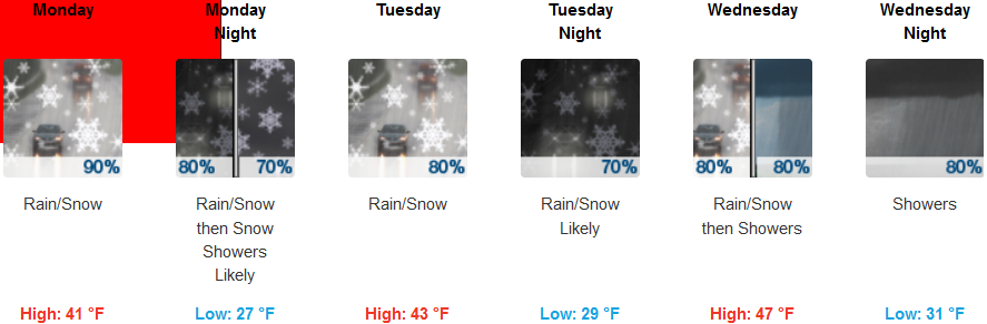
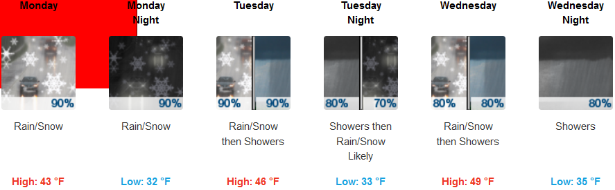
The preceding cold front is forecast to bring high temperatures down to the upper 30’s through Monday, dropping snow levels to about 1400 ft Monday night into Tuesday morning, possibly reaching the valley floor. Strong winds are forecast to gust to 30 mph, with early morning low temperatures in the mid 30’s before dropping to the low 30’s Tuesday. Rain and snow are expected through out the work week, with high temperatures getting to the mid to upper 40’s by mid week.
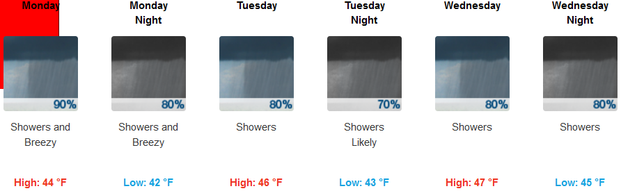
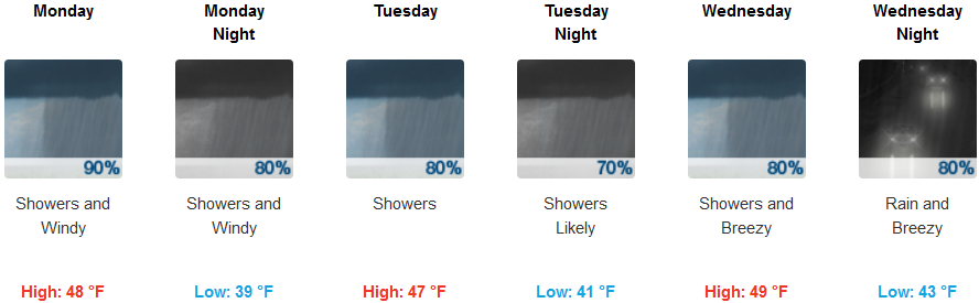
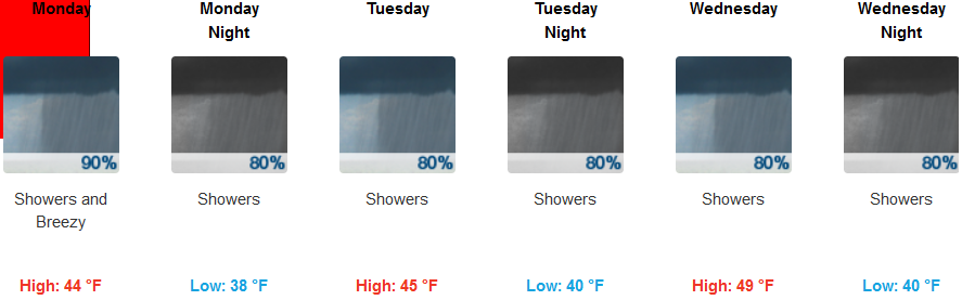
A strong onshore flow is forecast to direct abundant moisture as the low pressure system moves inland. Wind gusts up to 30 mph will move colder air into the area could prompt localized thunderstorms, with rain expected everyday through out the week. Temperatures along coastal regions will not fluctuate much, with highs in the mid 40’s, and lows in the low 40’s.
Brookings:
Crescent City:
Gold Beach:
Cave Junction:
Grants Pass:
Medford: