

Portions of eastern Oregon are expected to continue to see the possibility of thundershowers as a mid to upper level high continues to circulate up from the southwest.
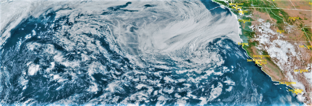
Low pressure just offshore is expected to slowly move northeast, bringing very dry and windy conditions to some interior valleys west of the Cascades. At the same time, scattered thunderstorms are expected from the Cascades eastward resulting in prime conditions for the rapid spread of any new or existing fires. As a result, Red Flag Warnings issued by the National Weather Service continue across much of central Oregon and northern California.
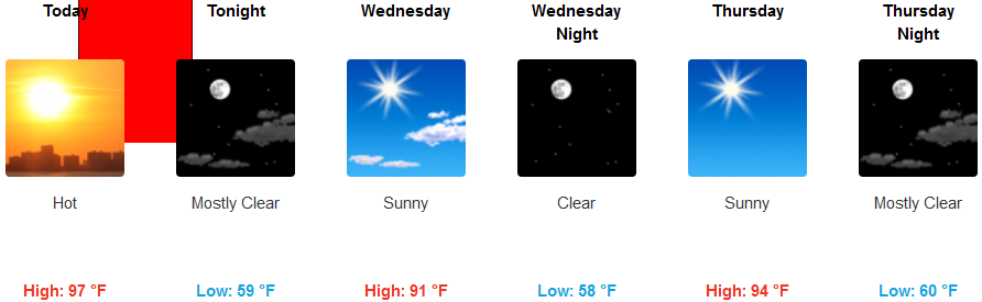
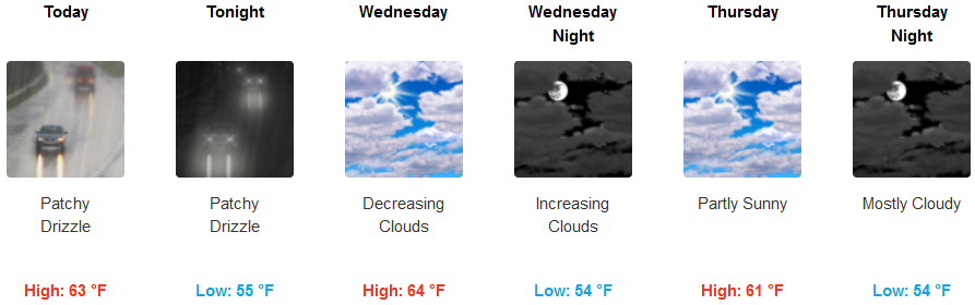
Inland areas should expect mostly clear sunny skies with warm temperatures continuing into mid-week with highs reaching the upper 90’s and possibly triple digits in some isolated locations. The coast is forecast for mostly cloudy skies with morning drizzle and fog giving way to decreasing clouds and mostly sunny skies as the week progresses with high temperatures reaching the upper 60’s.
Brookings:
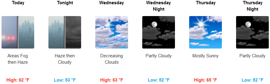
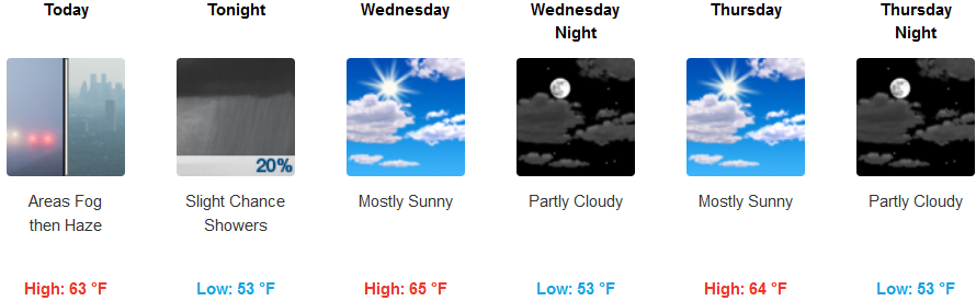
Crescent City:
Gold Beach:
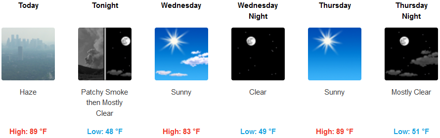
Cave Junction:
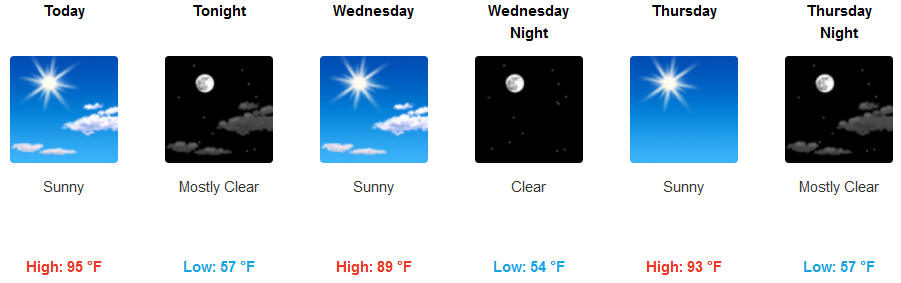
Grants Pass:
Medford: