

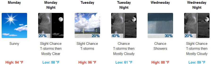
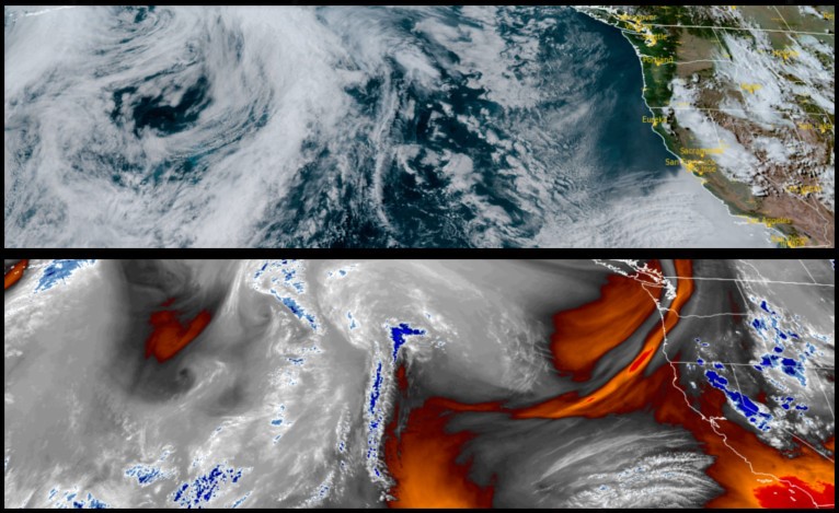
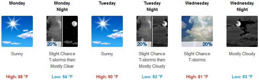
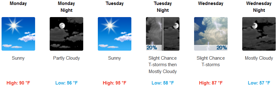
An upper level trough continues to circulate the outskirts of unsettled weather into eastern Oregon as above normal temperatures are expected to start the work week. This weather pattern also introduces the possibility of thunderstorms through Wednesday mostly over interior areas.
Inland areas can expect thunderstorms starting as early as Monday night, increasing in probability through Wednesday with a significant chance of showers late Tuesday evening. Temperatures are expected to be above normal with afternoon highs reaching the mid to upper 90’s, cooling to the upper 80’s Wednesday.
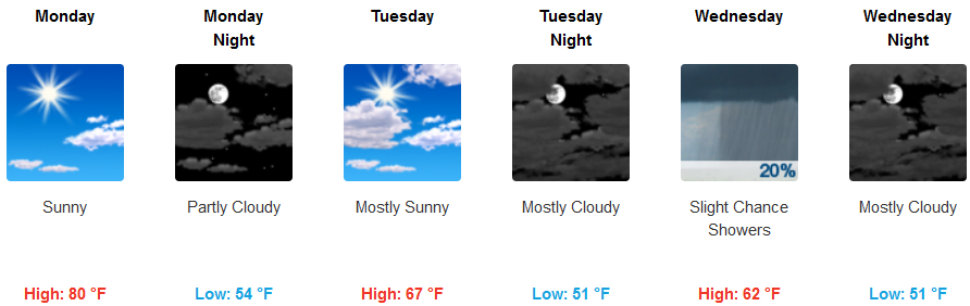
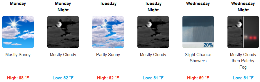
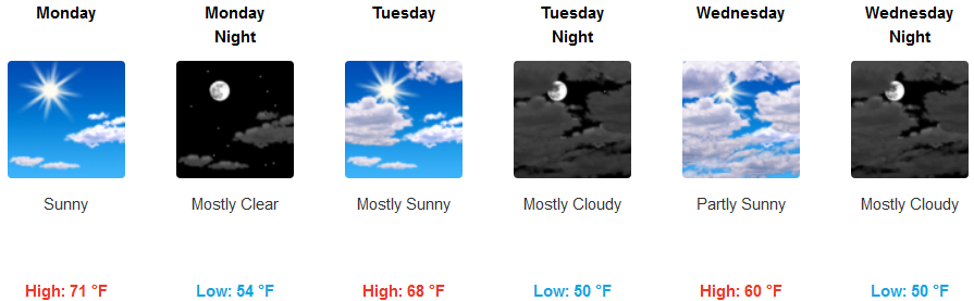
Along the coast mostly clear sunny skies are forecast, although, there is a slight chance of isolated thunderstorms reaching to the coast. Temperatures are expected to be warm with afternoon highs possibly reaching the 80’s early in the work week, cooling with a slight chance of showers Wednesday.
Brookings:
Crescent City:
Gold Beach:
Cave Junction:
Grants Pass:
Medford: