

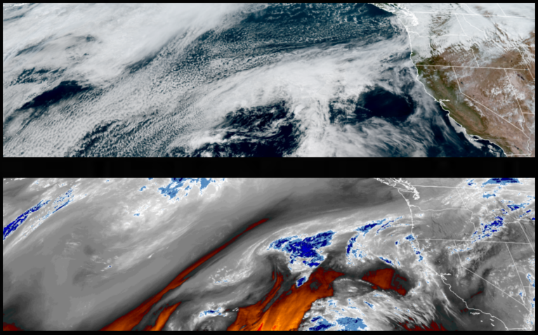
An upper-level trough moving into the Pacific Northwest is bringing together an unsettled colder trough of air from the north and a band of moist air from the Pacific that will change the weather pattern with mild temperatures and chances of rain through midweek across the region.
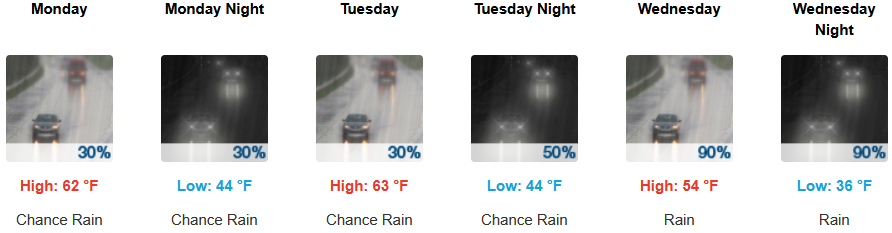
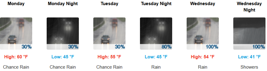
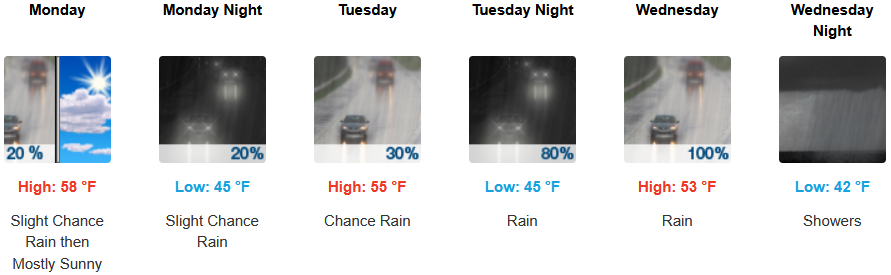
Inland areas can expect cool morning temperatures under mostly cloudy skies a calm northwest wind with chances of rain expected everyday moving into midweek and snow levels rising to above 5,000′. Afternoon highs will start the week in the low 60’s, with lows forecast to be in the low 40’s.
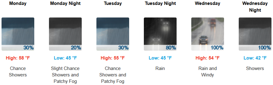
Along the coast, mostly cloudy skies cool mornings and mild afternoon temperatures continue into the workweek with chances of rain beginning as early as Monday morning. Highs are expected to be in the mid to upper 50’s, with lows forecast to be in the low to mid 40’s.

Brookings:
Crescent City:
Gold Beach:
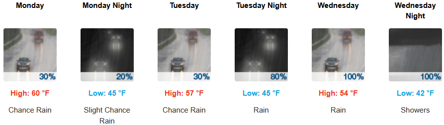
Port Orford:
Cave Junction:
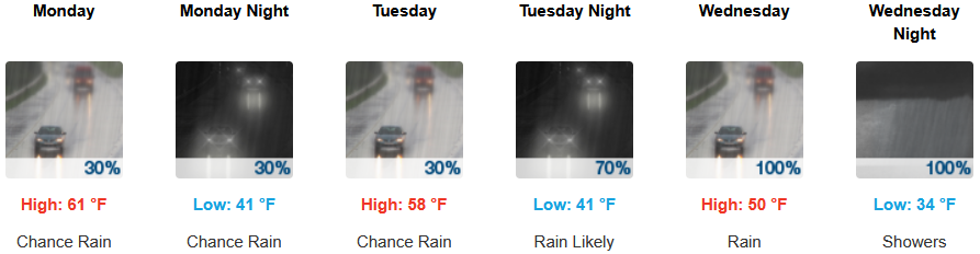
Grants Pass:
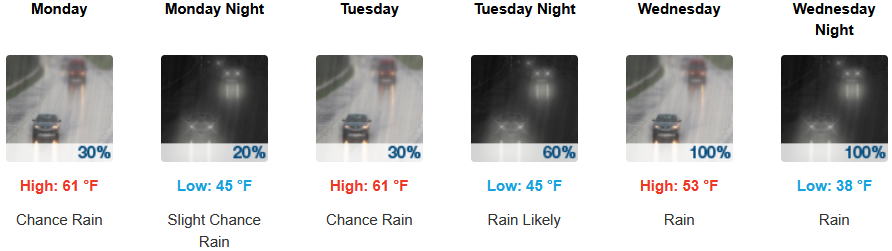
Medford: