


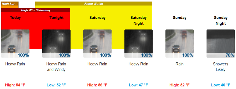
A frontal system is forecast to stall over the region today through Sunday. Due to the long duration of rainfall, a flood watch has been issued from 4 PM Friday through 4 AM Sunday.
Periods of heavy rainfall and mountain snowmelt will create increased runoff. 3 to 6 inches of rainfall with localized amounts up to 10 inches in the mountains are expected in the Watch area.
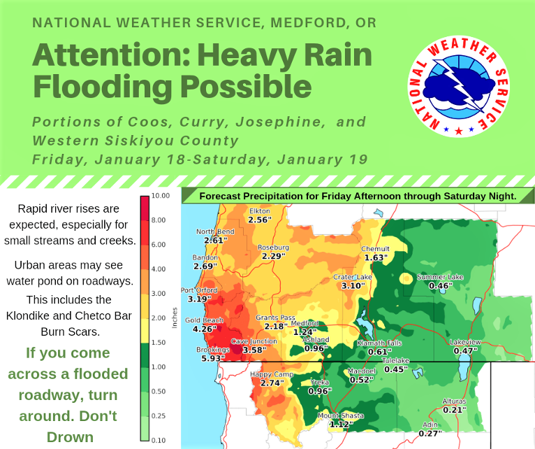
High rainfall rates near one half inch per hour are possible and there is potential for flooding in urban areas. Significant rises in small streams and creeks are expected, and flooding is possible. Significant rises in rivers will occur, but no main stem river flooding is currently expected. There is also increased potential for flooding and debris flows in wildfire burn scar areas including the Chetco Bar and Klondike burn scars.
Brookings:
Crescent City:
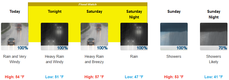
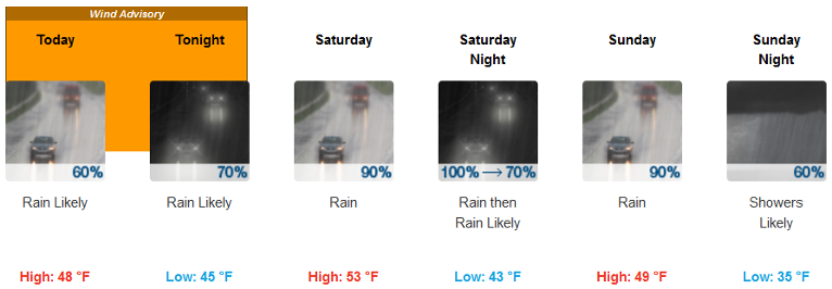
As this frontal system moves through the area Friday and Saturday it will bring breezy to windy conditions to the southern Oregon Coast and Headlands, Rogue Valley, and East Side.
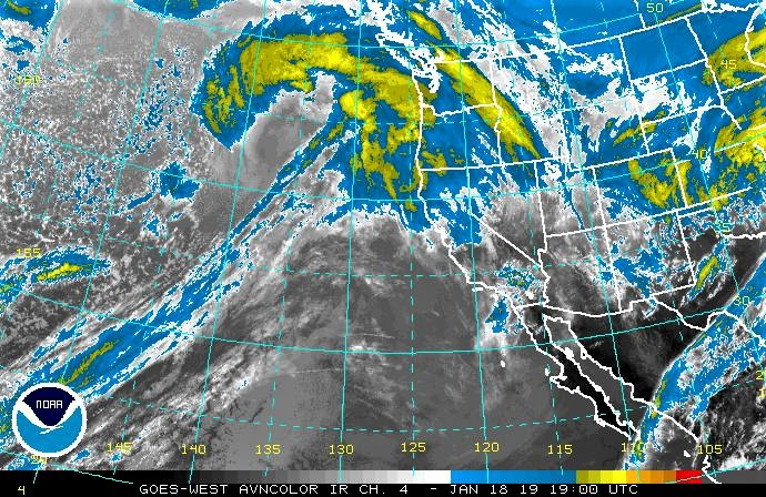
Confidence is high that these areas will see periods of heavy rainfall, but confidence is only medium on exact locations and specific timing of heaviest rainfall. The band of heaviest precipitation will move back and forth along the coastline Friday afternoon through Sunday morning. Slight changes north or south to this band will lead to significant changes in observed rainfall and potential for flooding.
Snow levels will rise to 7000 feet through the duration of the heaviest rain, however, a colder airmass will enter the region Sunday afternoon, causing snow levels to fall to around 4000 feet. In addition, showers and thunderstorms may produce small hail along the coast Sunday afternoon and evening.
If you come across a flooded roadway, find an alternate route. Turn around, don’t drown.
Please Like, Share and Follow the …
![]()