


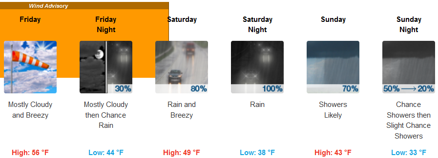
A warm front moved northward through the coastal waters Thursday afternoon and into Friday with increasing winds and building seas.
The Atmospheric River associated with this front will mainly impact the northern Oregon coast, however, the heaviest rain forecast for the area will be at the Curry County coast and Curry County Coastal Mountains.
Friday will feature the lowest rain amounts while Saturday morning should have the heaviest rain. Rain accumulation will vary from 2 to 6 inches through Sunday.
A cold front will stall offshore resulting in an extended period of gale force winds through late Friday night.
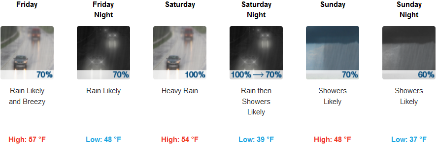
Brookings:
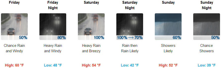
Crescent City:
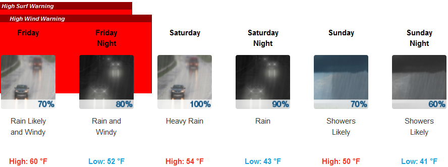
Gold Beach:
Cave Junction:
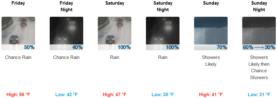
Medford:
Winds will gust to 70 mph at the headlands and higher terrain while other coastal areas gust to 60mph. Exposed portions of Highway 101 will be impacted by strong winds.
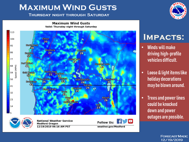
The long duration of gale-force winds will produce fully arisen seas peaking at 20-25 feet over the ocean with very steep southerly wind waves.
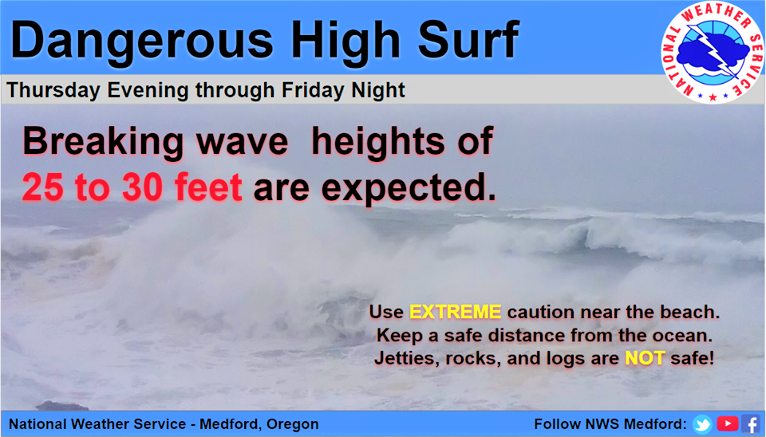
Large breaking waves of 25-30 feet will also cause unsafe conditions on beaches and shorelines. Beachgoers should stay well away from the ocean.
Conditions should improve by Saturday afternoon as the front finally pushes onshore.