


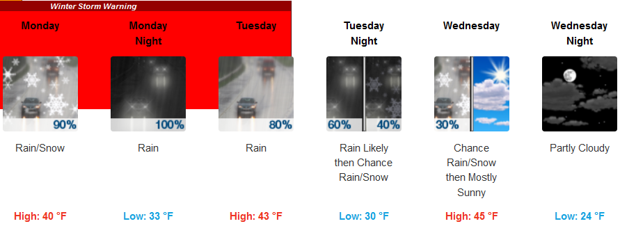
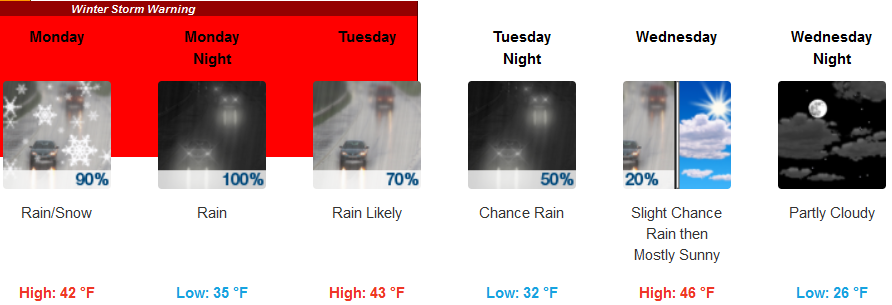
As the new work week gets started, the weather pattern of rain, thunder and lightning and snow is forecast to continue as another storm system moves in Monday. A Winter Storm Warning has been issued by the National Weather Service as warmer air is expected to move into the area from the south creating areas of very unsettled weather as the cold air and warm air come together, tapering off as the work week progresses.
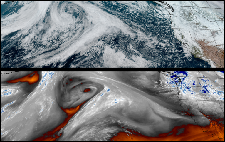
Inland areas are forecast to see rain and snow down to the valley floor through Monday morning, before warmer air raises snow elevations to 2300 ft. Monday afternoon. Rain is forecast to slow as the week progresses, however, chances for more precipitation and snow return mid week. Low temperatures are expected to drop as low as the upper 20’s to low 30’s with afternoon highs only reaching the low to mid 40’s.
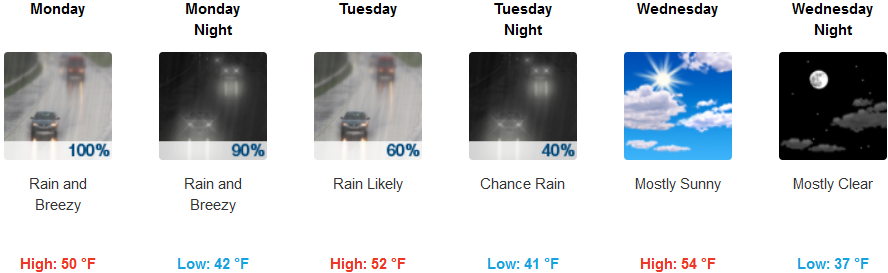
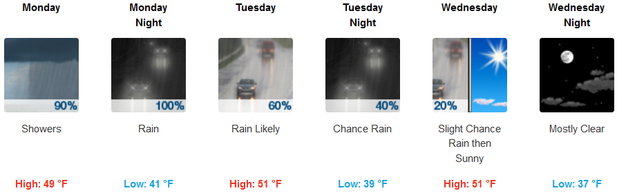
Along the coast, rain, heavy at times, is expected everyday into mid week with slight winds before skies begin to clear Wednesday afternoon. Temperatures along the coast are expected to stay cool with lows falling to the upper 30’s and highs reaching the upper 40’s to mid 50’s.
Brookings:

Crescent City:
Gold Beach:
Cave Junction:
Grants Pass:
Medford:
