

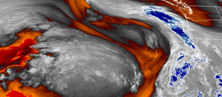
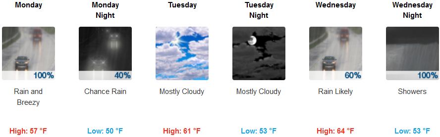
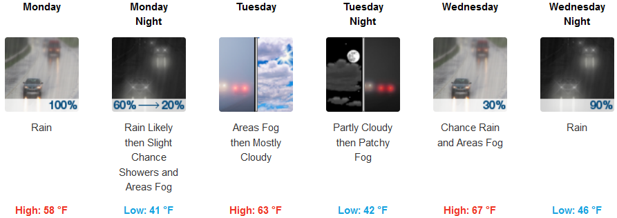
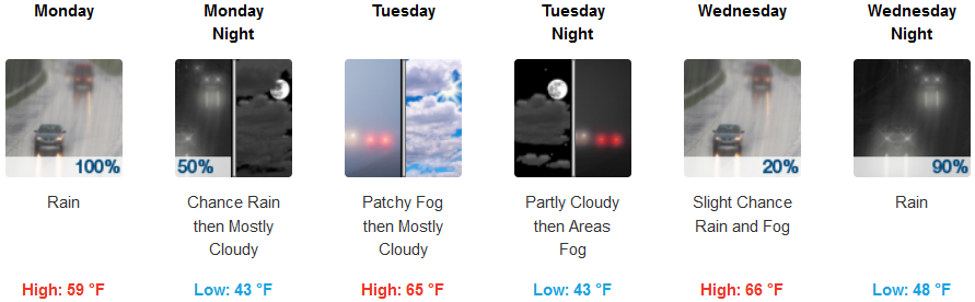
Wet weather is forecast to persist through Monday for most areas as a low pressure system pushes into the norther California and southern Oregon.
Temperatures are forecast to be mild as cold air is not associated with this front and inland skies are expected to become partly cloudy very early Tuesday morning creating a short break before another system enters the area Wednesday.
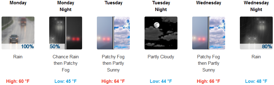
Inland, after rain Monday, skies will clear to partly cloudy with localized fog in some areas before a cloudy skies return Wednesday morning, bringing rain Wednesday night. Temperatures are expected to remain mild with lows in the low to mid 40’s and highs in the mid 60’s as the work week progresses.
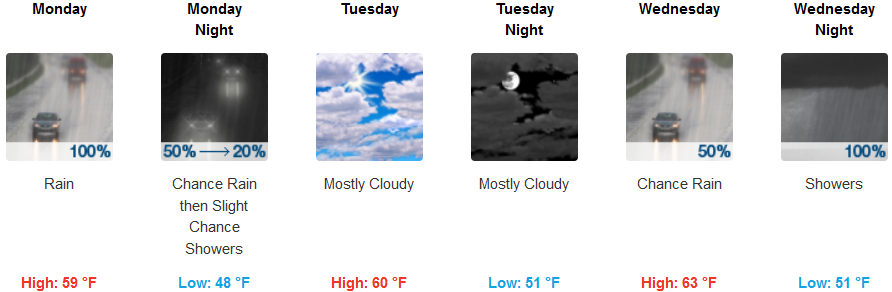
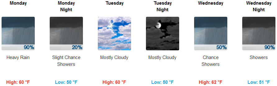
Coastal areas will also see rain Monday with a break Tuesday and localized showers as the next round of precipitation brings more rain early Wednesday and through Wednesday night. Temperatures are forecast to continue to be relatively mild with highs in the upper 50’s and low 60’s and lows in the upper 40’s and low 50’s.
Brookings:
Crescent City:
Gold Beach:
Cave Junction:
Grants Pass:
Medford: