

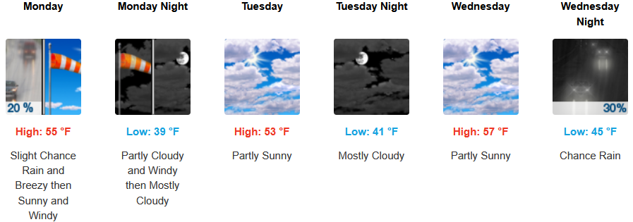
Onshore flow from the Pacific is in place to start the work week pushing a stream of weather into northern Oregon and southern Washington leaving southern Oregon and northern California with partly cloudy skies, cold mornings and moderate afternoon highs before chances of rain return mid week .
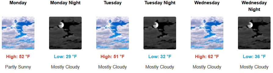
Inland areas are forecast to see partly cloudy skies before the next weather system positions itself leaving the possibility of showers starting late Wednesday. Afternoon highs will start the week in the low 50’s, rising to the low 60’s with lows forecast to start in the mid to low 30’s rising to the 40’s by mid week.
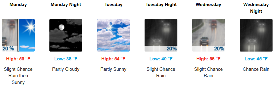
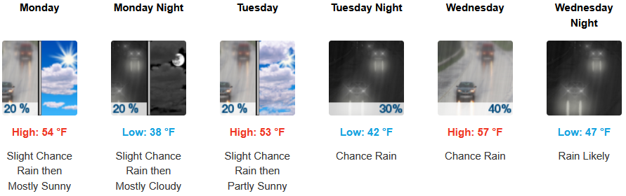
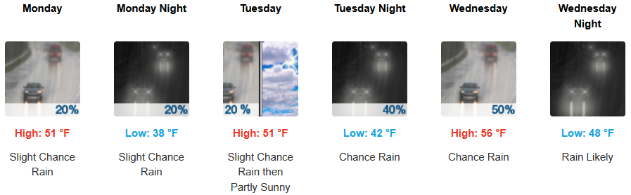
Along the coast, slight chances of precipitation are expected every day to start the work week before rain is expected to return by mid week. Highs are expected to be in the mid to upper 50’s, with lows forecast to be in the low to mid 40’s.

Brookings:
Crescent City:
Gold Beach:
Port Orford:
Cave Junction:
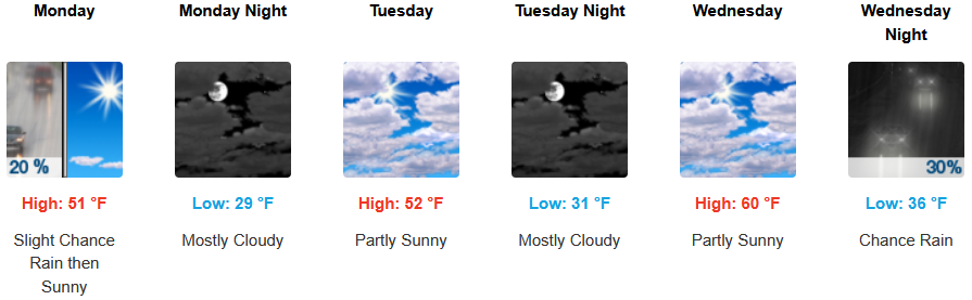
Grants Pass:
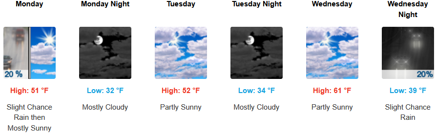
Medford: