

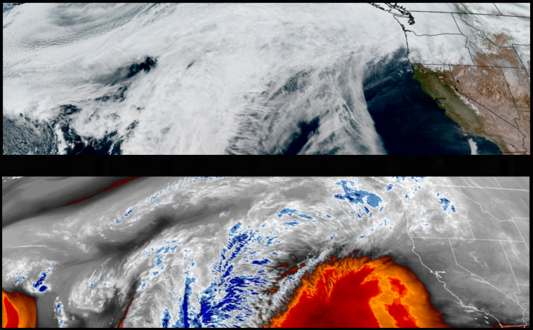
A ridge of high pressure circulating off the California coast continues to position unusually warm temperatures along the southern Oregon coast while pushing weather systems and moisture from the central Oregon coast, to the north. Partly cloudy skies and relatively warm temperatures are forecast to start the work week.
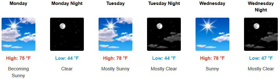
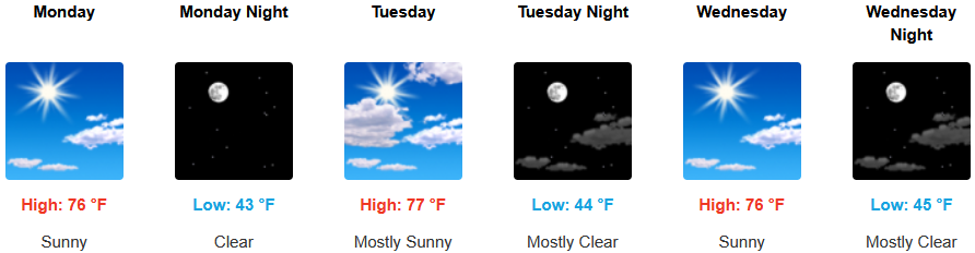
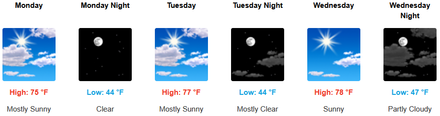
Partly cloudy skies and warm afternoons are forecast to continue for inland areas before the high pressure circulating off the California coast begins to move to the east allowing the next weather system to position itself offshore. Afternoon highs will start the week in the mid to upper 70’s, with lows forecast to be in the mid 40’s.
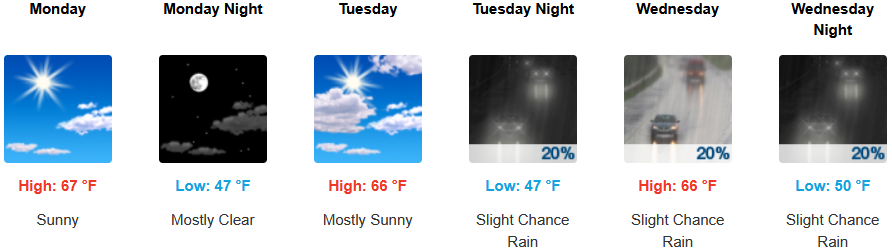
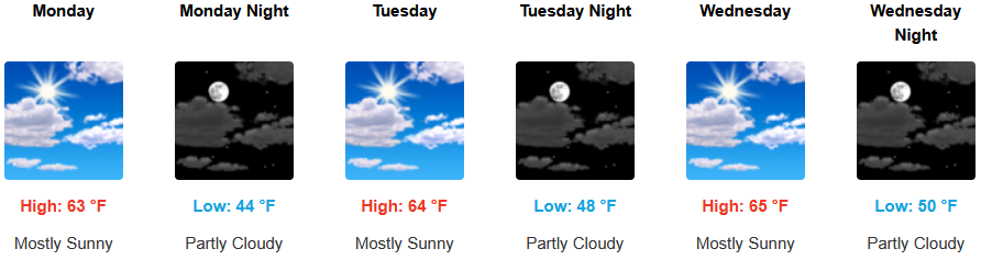
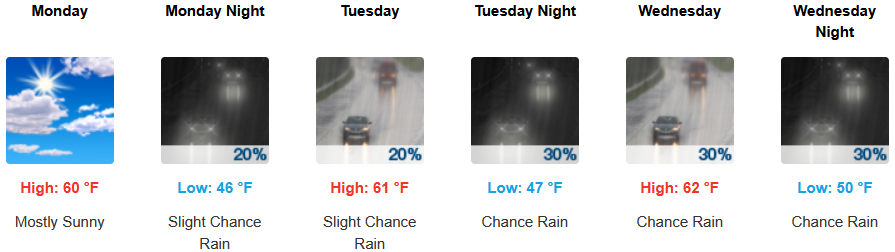
Along the coast, partly cloudy skies and warm afternoons will start the workweek as the ridge of high pressure circulating off the California coast begins to degrade allowing weather systems to move onshore as early as Tuesday as far south as Port Orford. Highs are expected to be in the low 60’s, with lows forecast to be in the mid to upper 40’s.

Brookings:
Crescent City:
Gold Beach:
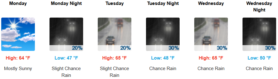
Port Orford:
Cave Junction:
Grants Pass:
Medford: