

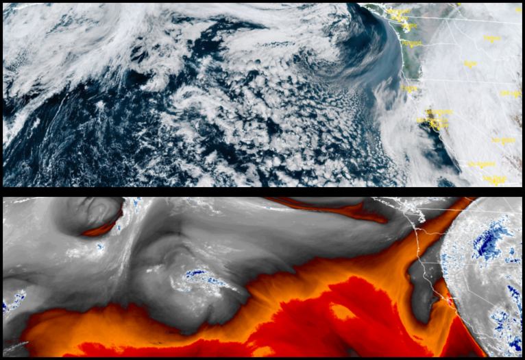
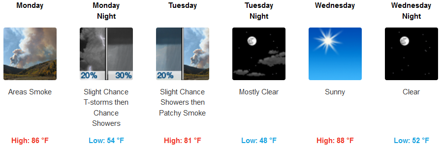
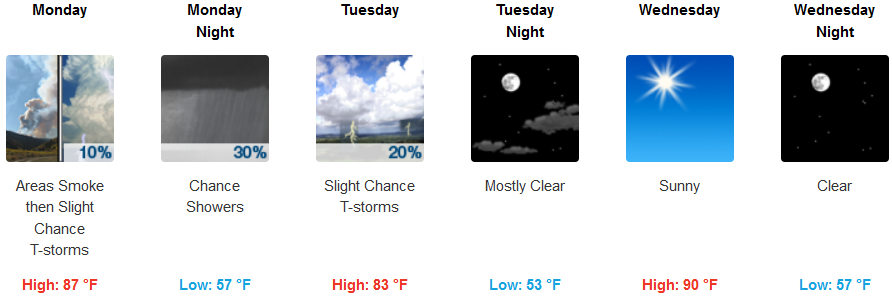
A stubborn ridge of high pressure continues to dominate conditions off the coast, however, thunderstorms continue to push into southern Oregon and northern California as unstable air spins into the region from the southwest. Hurricane Hilary could also push unstable conditions into the area as it weakens and moves to the north and east early in the work week.
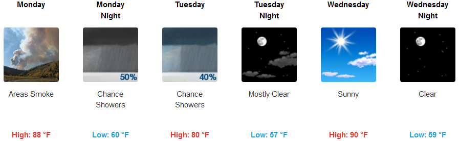
Widespread smoke is expected for inland areas and valleys prompting Air Quality Alerts from the National Weather Service for most of southwest Oregon with a slight chance of rain and thunderstorms after 5:00pm Monday and continuing through Tuesday before clearing up Wednesday and warming slightly. Afternoon highs are expected to reach the low 90’s later in the week after remaining in the mid 80’s to start the week.
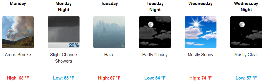
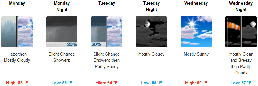
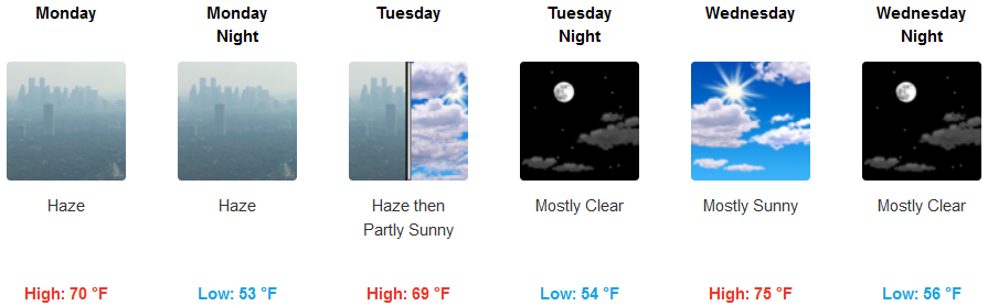
Areas along the coast patchy smoke will be in the area into and through Tuesday with a slight chance for some precipitation Monday night. Partly cloudy skies move in Tuesday after smokey skies clear Tuesday morning as a northwest wind develops, possibly gusting to 18mph. Afternoon highs are expected to be warm, in the mid 70’s, with evenings cooling to the upper 50’s.
Brookings:
Crescent City:
Gold Beach:
Cave Junction:
Grants Pass:
Medford: