

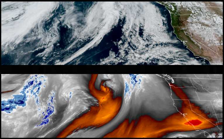
The current clear skies and even warmer weather conditions are expected to continue and strengthen under an upper level ridge of high pressure going into the weekend, however, chances of precipitation increase as soon as early Saturday along the coast and late Sunday inland.
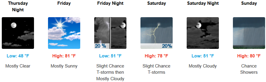
Warmer temperatures under continued mostly clear skies are expected for inland areas reaching average to above average temperatures to end the workweek before chances of showers and possible thunderstorms enter the forecast Saturday. Afternoon highs could reach the low to mid 80’s, with lows forecast to be in the upper 40’s to low 50’s.
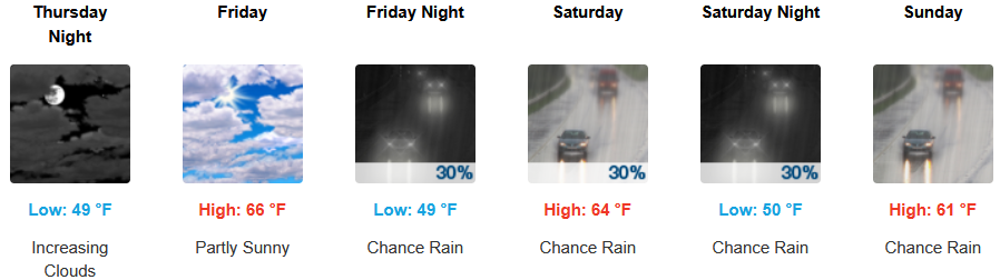
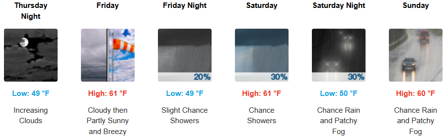
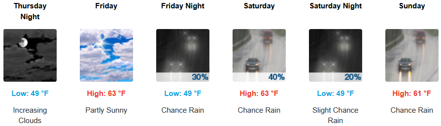
Along the coast, areas of patchy morning fog clearing to mostly clear skies are expected to continue to end the workweek before chances of chances of precipitation increase as soon as late Friday evening along the coast. Highs are expected to be in the low to mid 60’s, with lows forecast to be in the upper 40’s to low 50’s.

Brookings:
Crescent City:
Gold Beach:
Port Orford:

Cave Junction:
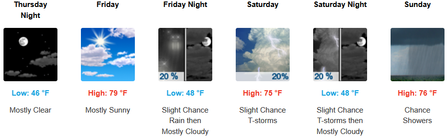
Grants Pass:
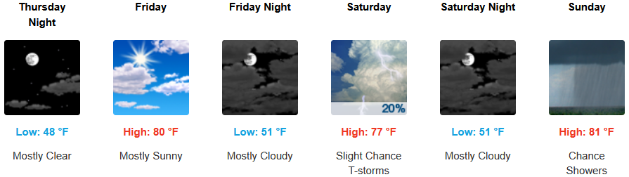
Medford: