

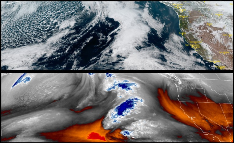
As the cooler unstable airmass responsible for the last rounds of wind, rain and snow moves out of the region, a drier and more calm weather pattern is forecast going into the weekend, however, changes as the weekend winds down are expected.
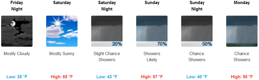
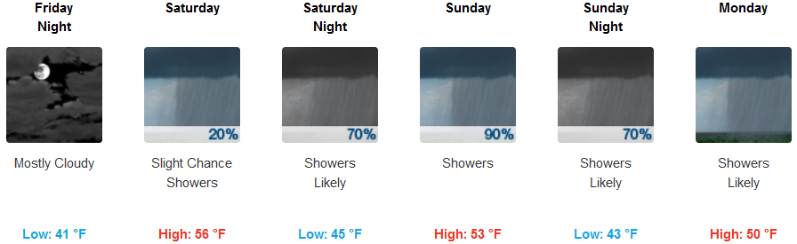
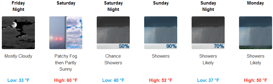
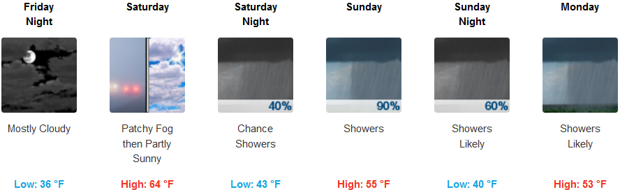
Inland areas are forecast to see mostly sunny skies through Friday and into Saturday evening before high clouds and localized fog move in bringing a new round of rain with it. Afternoon highs could get up into the 60’s in some areas, however temperatures are expected to cool again as a new weather system moves in late Sunday with afternoon highs dropping to the low to mid 50’s with lows in the mid to upper 30’s.
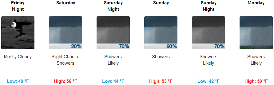
Skies over much of the southern Oregon and northern California coastlines will be partly cloudy to mostly sunny going into the weekend, as another weather system approaches offshore. Rain is expected to begin late Saturday evening and continue through Sunday. Temperatures will remain mild along the coast with early morning lows only getting to the low 40’s with afternoon highs in the mid 50’s.
Brookings:
Crescent City:
Gold Beach:
Cave Junction:
Grants Pass:
Medford: