

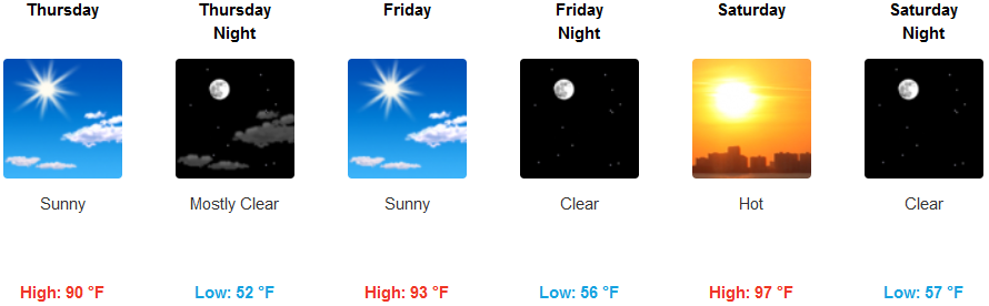
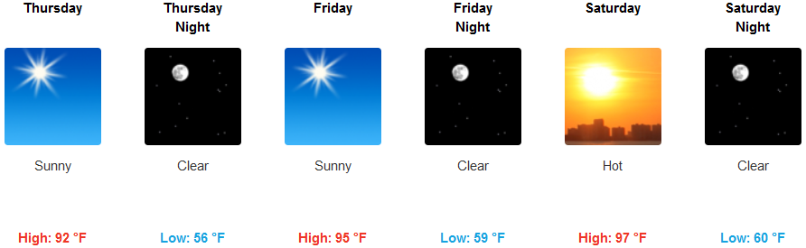
After a brief reprieve from extreme heat the past few days, high temperatures are forecast to be on the increase across the interior, peaking this weekend. A new ridge of high pressure builds over the northwest while the trough that was responsible for the cooler temperatures pushes slowly to the east.
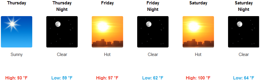
Inland, high temperatures will begin to slowly rise, pushing the high temperatures from the more mild low to mid 90’s from earlier in the week, to triple digits by the end of the weekend. Low temperatures will be a nice break from the hot dry afternoons with a 40 degree swing lingering in the mid 50’s. However, the cool mornings will be short lived as temperatures in the afternoons are forecast to reach over 100 degrees in some areas.
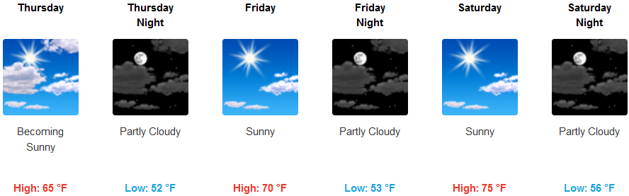
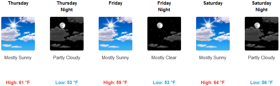
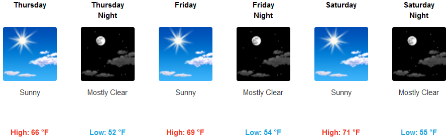
On the coast, an off-shore flow will keep the marine layer from establishing itself, however, some localized early morning fog will burn off as the day progresses. With the marine layer pushed off-shore, temperatures along the coast will also see mostly clear skies and an increase in warmer weather with high’s reaching the mid to upper 70’s in some areas while low’s get down into the low 50’s.
Brookings:
Crescent City:
Gold Beach:
Cave Junction:
Grants Pass:
Medford: