

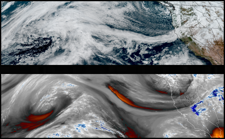
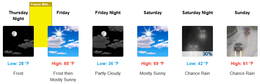
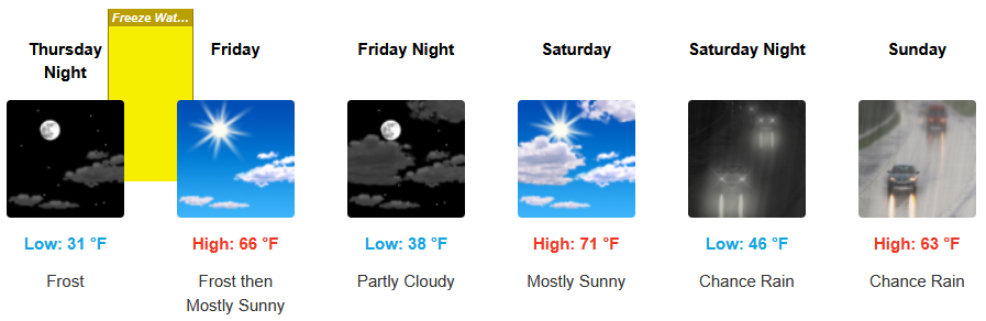
A cold front pushing down from the north Pacific has moved the train of moisture down the west coast bringing a mass of cold air with it and mostly clear skies and cold temperatures and Freeze Watches from the National Weather Service to end the workweek before chances of rain return for the weekend.
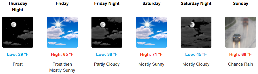
Inland areas are forecast to see mostly sunny skies, cool temperatures going into weekend with Freeze Watches from the National Weather Service for the higher elevations to close the workweek, with chances of rain late Saturday. Afternoon highs will end the week in the mid to upper 60’s, with lows forecast to be in the low to mid 30’s.
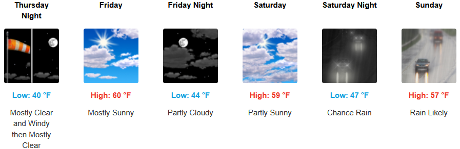
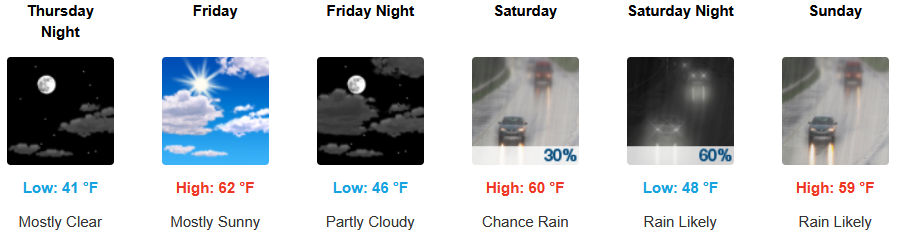
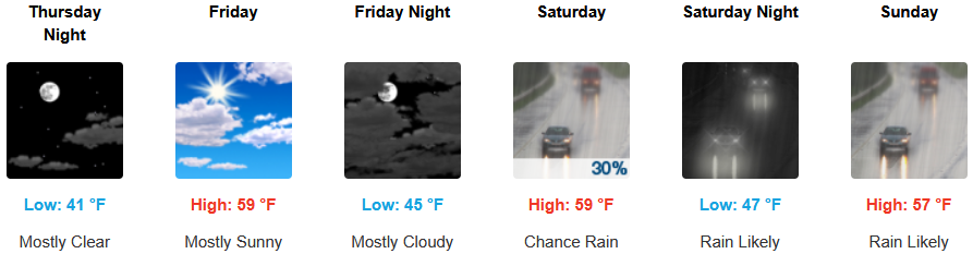
Along the coast, mostly clear skies will end the work week, with chances of rain as soon as Saturday, increasing as the weekend progresses. Highs are expected to be in the upper 50’s to low 60’s, with lows forecast to be in the mid to upper 40’s.

Brookings:

Crescent City:
Gold Beach:
Port Orford:
Cave Junction:
Grants Pass:
Medford: