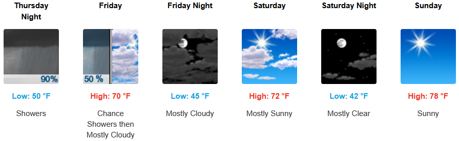















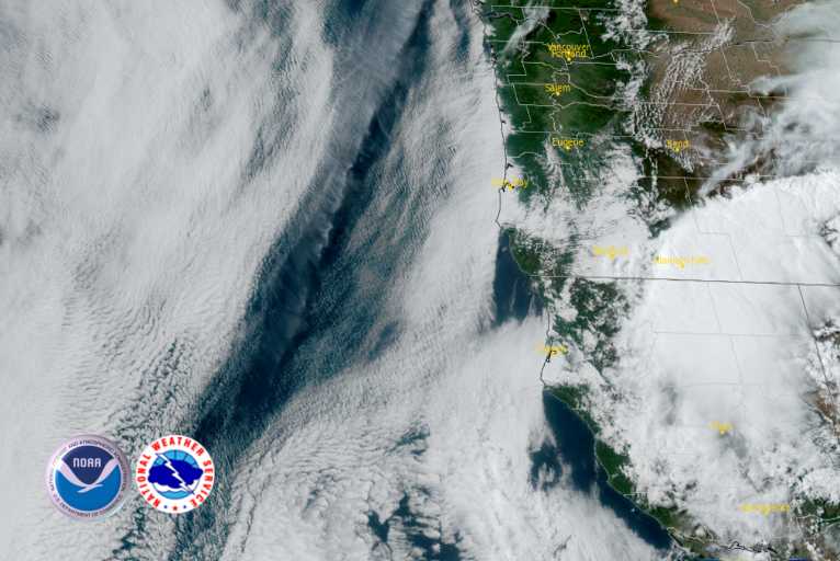

A strong low pressure system circulating over the south eastern Oregon and north eastern Nevada border is expected to continue circulating chances of showers and thunderstorms from the east to the west coast through the next few days as it slowly progresses to the east.
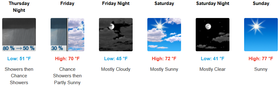
Inland areas can expect an unstable airmass going into the weekend before clearing into mostly sunny skies to end the weekend. Afternoon highs will remain a moderate low to mid 70’s or higher Sunday afternoon, with lows forecast to drop from the low 50’s to the mid to upper 40’s.
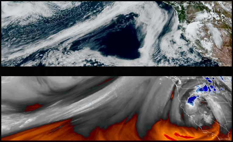
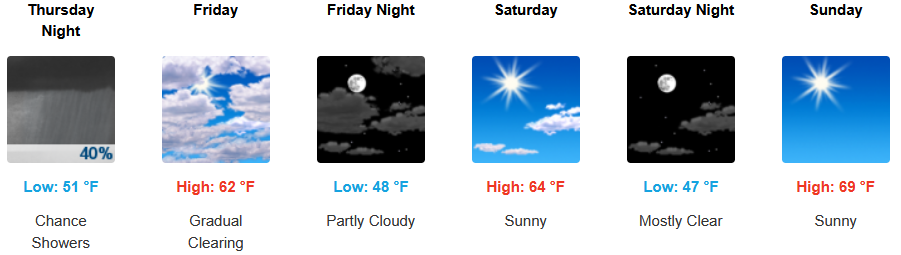
The closer you get to the coast, the lower your chances of showers and thunderstorms, however, chances of rain remain as does an early morning marine layer along the immediate coast. Temperatures are expected to remain relatively mild with lows expected to be in the low 40’s to mid 50’s, with highs expected to reach the upper 60’s to close out the weekend.

Brookings:
Crescent City:
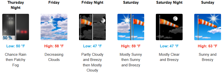
Gold Beach:
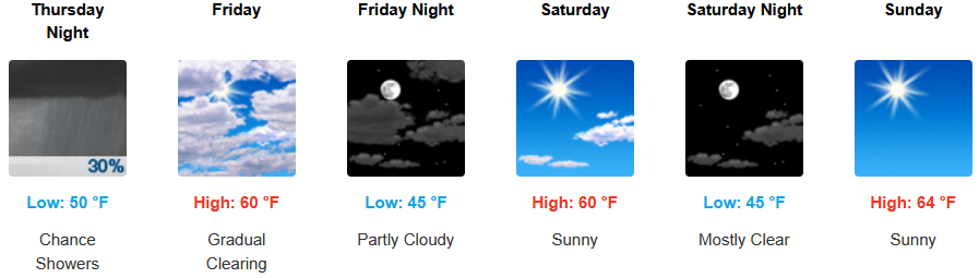
Port Orford:
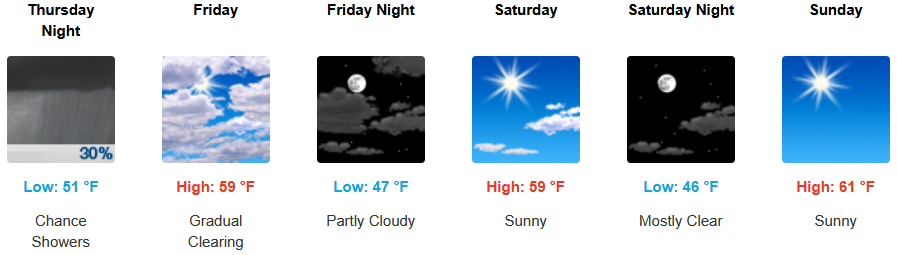
Cave Junction:
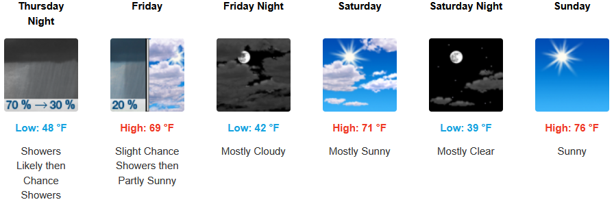
Grants Pass:
Medford: