

The ridge of high pressure off the coast responsible for the clear warm weather pattern of the last week, begins to weaken and move off the east, however, the clear skies and the high temperatures are forecast to cool slightly into midweek.
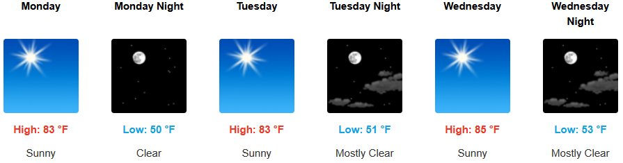
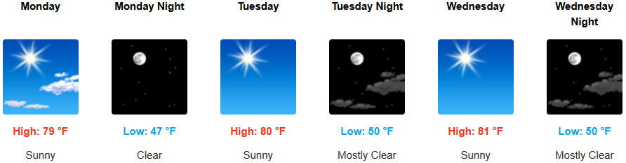
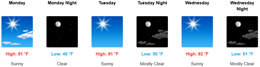
Inland areas are forecast to see continued sunny skies into midweek with afternoon highs cooling slightly. Lows are expected to be in the low 50’s, with highs only reaching the mid to upper 80’s.
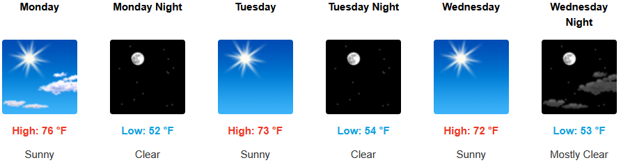
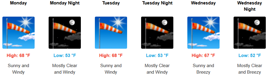
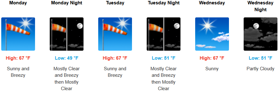
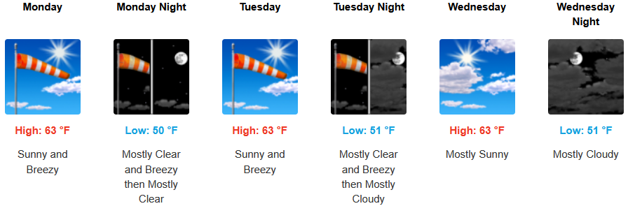
Along the coast, an early morning marine layer is possible along immediate coastal areas under sunny skies and warm afternoon temperatures forecast to start the work week. Gusty north northwest winds are expected to develop along the coast with winds reaching up to the mid 30’s. Afternoon highs are expected to reach the mid to upper 60’s, with morning lows cooling to the low 50’s.
Brookings:
Crescent City:
Gold Beach:
Port Orford:
Cave Junction:
Grants Pass:
Medford: