

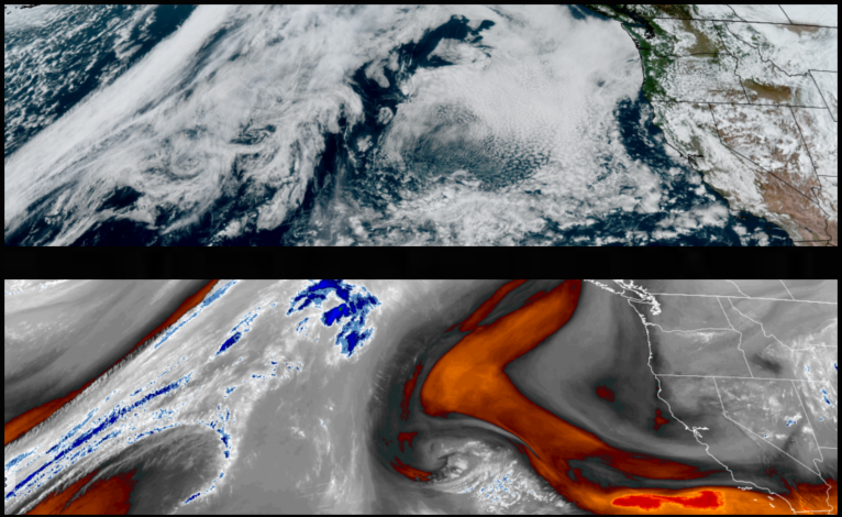
Chances of isolated shower remain over most of the region into Monday to start the workweek as unsettled air from the top edge of a system circulating in the southwest moves off to the east. Mostly clear skies and warming temperatures are expected to strengthen into midweek.
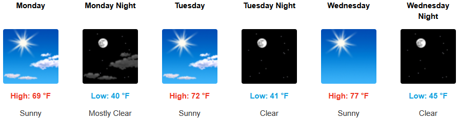
After the slight chances of rain that remain for inland areas through Monday morning, mostly clear skies are forecast to dominate the forecast with sunny warmer temperatures expected through midweek. Temperatures are expected to remain relatively mild with afternoon highs starting in the upper 60’s Monday before reaching the upper 70’s, with lows forecast to be in the low 40’s.
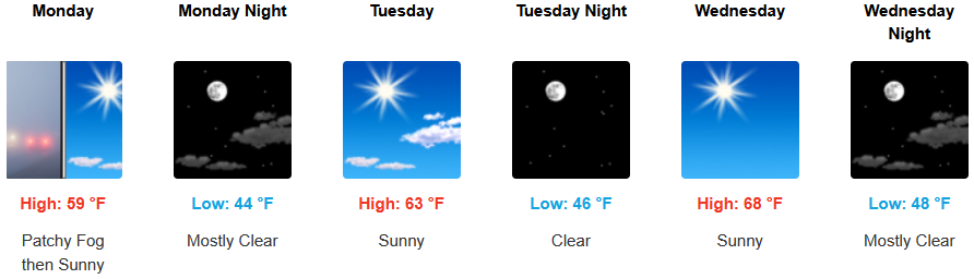
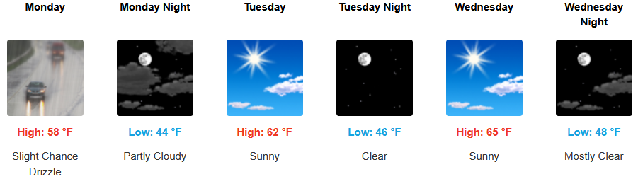
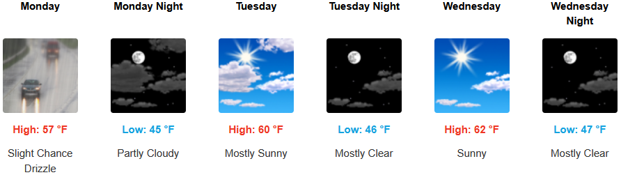
Along the coast, areas are forecast to see slight chances of localized showers or drizzle and patchy morning fog clearing to mostly clear skies to start the workweek with mild temperatures through midweek. Highs are expected to be in the low to mid 60’s, with lows forecast to be in the low to mid 40’s.

Brookings:
Crescent City:
Gold Beach:
Port Orford:
Cave Junction:
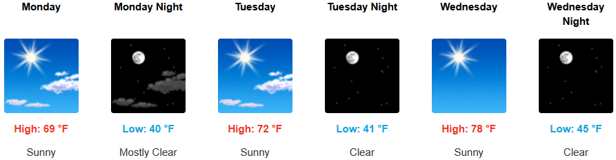
Grants Pass:

Medford: