

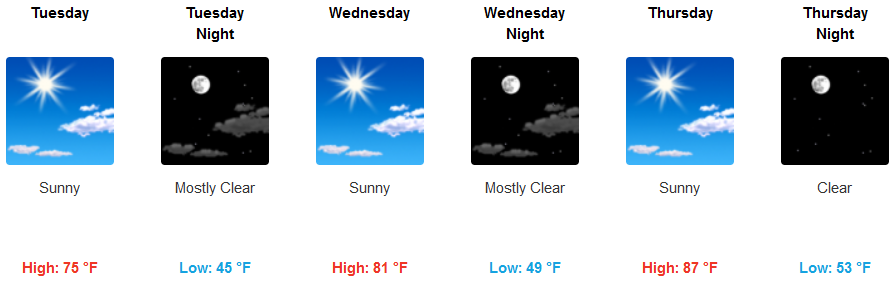
With high pressure dominating the weather pattern for the past few days, the warm temperatures are expected to peak Monday for the work week as an upper level trough works its way to the south along the coast, gradually cooling temperatures across the region as the work week progresses.
Inland areas are expected to see continued mostly clear skies, with the possibility of a light breeze reaching 15mph mid-week. Temperatures are forecast to peak Monday and begin cooling high temperatures slightly, dropping highs to the mid to low 70’s before warming again to the upper 80’s as the work week comes to an end.
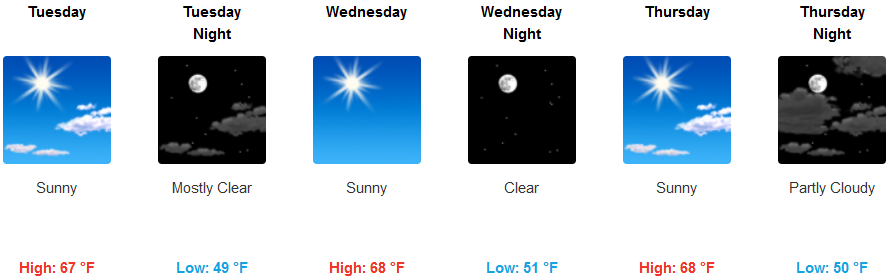
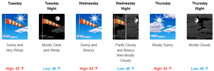
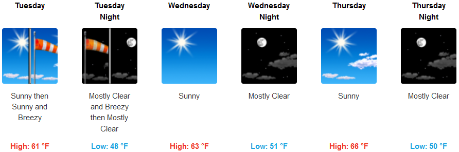
Coastal regions will continue to see much of the same, marine layer in the morning with possible localized fog, changing to mostly clear skies in the afternoon with a mild wind growing to a steady wind with gusts up to 20mph. Temperatures are forecast to remain steady through the work week, with lows in the mid to upper 40’s and highs getting to the upper 60’s.
Brookings:
Crescent City:
Gold Beach:
Cave Junction:
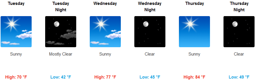
Grants Pass:
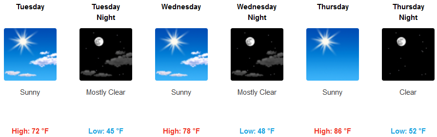
Medford: