

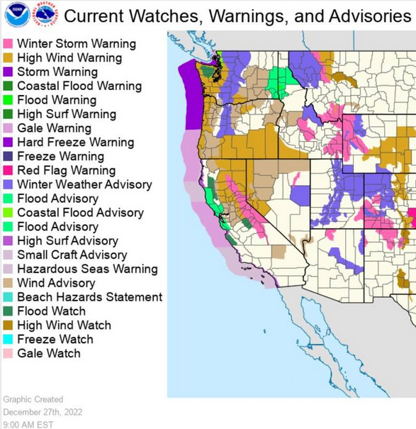
A very strong post holiday pacific storm system moved onshore Monday and will begin a series of wet weather systems passing through the region as the week progresses. Much of southern Oregon and northern California are under some sort of weather related Warning or Advisory from the National Weather Service, ranging from High Wind Warnings all along the coast through Tuesday, to Winter Weather Advisories and localized Flood warnings in some areas.
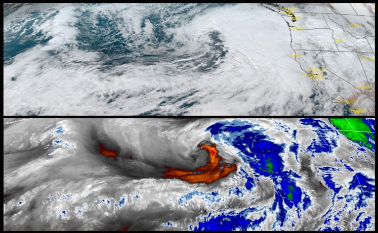
The Pacific northwest as well as much of California are expected to become much more active in the coming days as an Atmospheric River of moisture is being pushed onshore combined with cold air in the north and heavy winds.
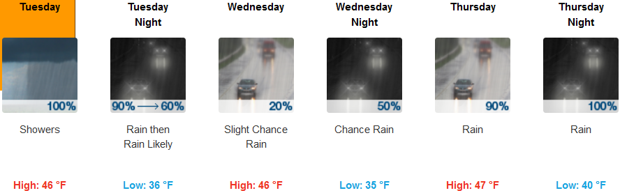
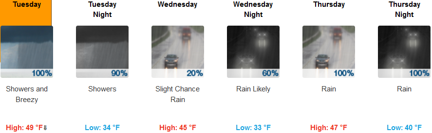
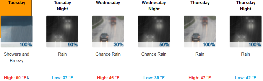
Away from the coast, Wind Advisories from the National Weather Service are expected through Tuesday with rain before a slight break from precipitation Wednesday before another round of rain begins late Wednesday and Thursday. Temperatures across the valley will remain cool, with afternoon highs only reaching the mid 40’s, and lows in the mid 30’s.
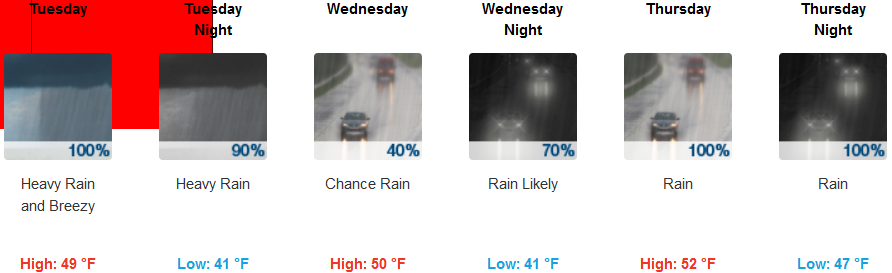
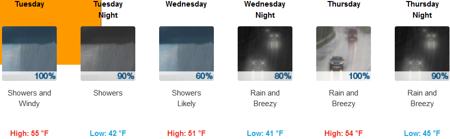
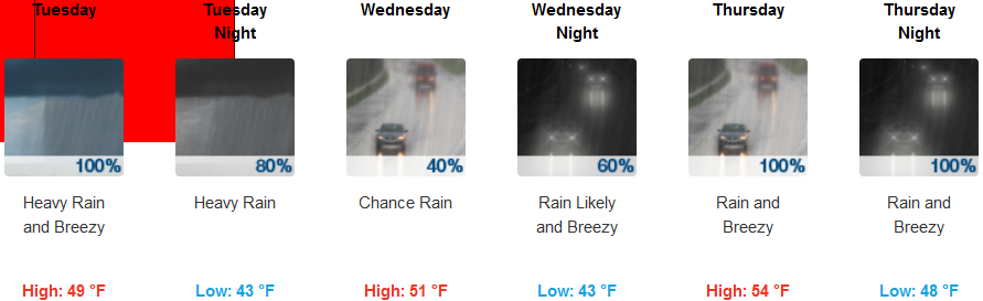
Coastal areas are forecast to see heavy rain and possible thunderstorms as weather systems move onshore with strong winds above 30mph, gusting to 60mph peaking Tuesday morning. These storm force winds prompted High Surf Warnings from the National Weather Service all along the coast that will bring extremely large breaking waves peaking at 25 to 30 feet and dangerous conditions along beaches and area shorelines. Coastal temperatures are expected to cool with lows dropping into the low 40’s and highs in the low 50’s.
Brookings:
Crescent City:
Gold Beach:
Cave Junction:
Grants Pass:
Medford: