

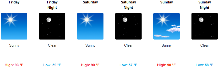
High pressure continues to influence the weather pattern, shifting weather systems to the north and supplying predominantly sunny skies and warm temperatures. However, an upper level trough will approach the region pushing down from the north, moving unstable air into the region that will combine with very low relative humidities, resulting in possible critical fire weather conditions inland.
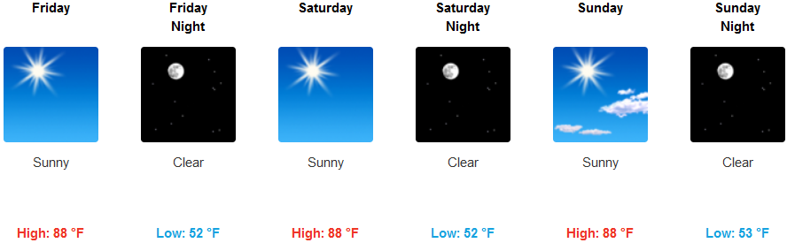
Temperatures inland are forecast to continue to be warm, possibly above average in some areas into the weekend and temperatures are expected to continue to rise into next week with highs in the mid 90’s, possibly increasing to triple digits to start next week. Afternoon and evening winds are expected to increase as the weekend progresses possibly getting to 30 mph.
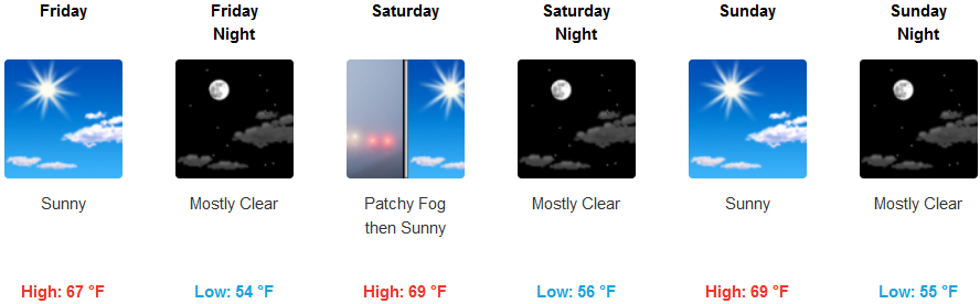
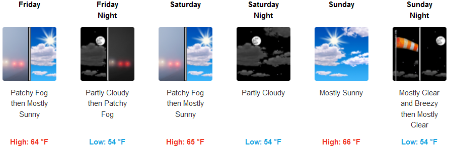
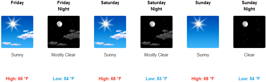
A stubborn marine layer and localized areas of fog will continue for much of the coast burning off afternoon, changing to mostly sunny skies with warm temperatures gradually increasing as the weekend progresses. A light wind is expected to develop in the evening increasing into the weekend possibly gusting to 20 mph with high temperatures possibly reaching the low 70’s in some areas.
Brookings:
Crescent City:
Gold Beach:
Cave Junction:
Grants Pass:

Medford: