

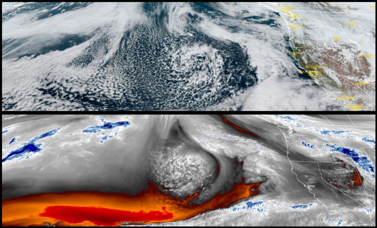
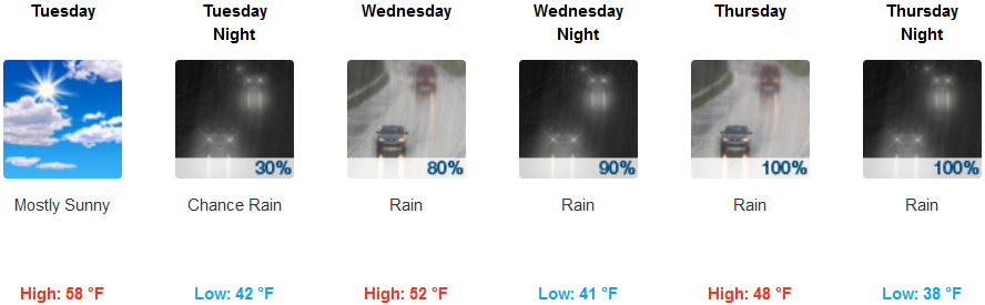
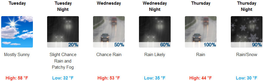
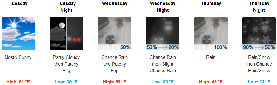
Our short reprieve from the rain has quickly moved on as another round of precipitation is forecast to move into the area late Tuesday afternoon.
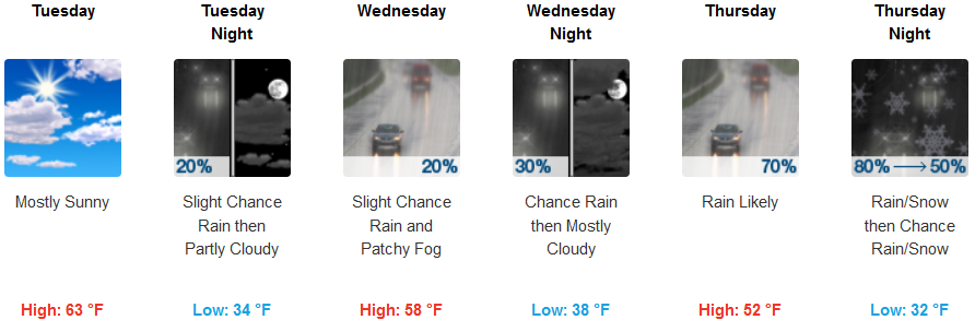
Inland areas can expect mostly cloudy skies for most of the workday Tuesday, starting the day off with localized fog in some areas before a slight chance of precipitation develops Tuesday evening and continuing through the rest of the week. Temperatures will remain steady early in the week before dropping into the low to mid 30’s for evening and early morning lows.
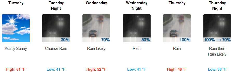
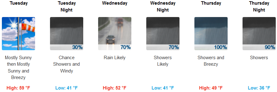
Coastal areas can also expect partly cloudy skies for much of Tuesday before precipitation possibly circulates into the area late Tuesday and early Wednesday bringing a chance for rain. Rain is likely for most of Wednesday and continuing into the weekend. Temperatures are expected to remain mild, cooling as the work week progresses with coastal lows in the mid 30’s and highs into the upper 50’s.
Brookings:
Crescent City:
Gold Beach:
Cave Junction:
Grants Pass:
Medford: