


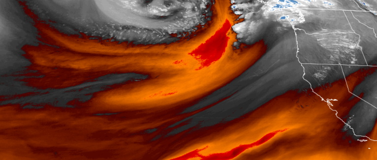
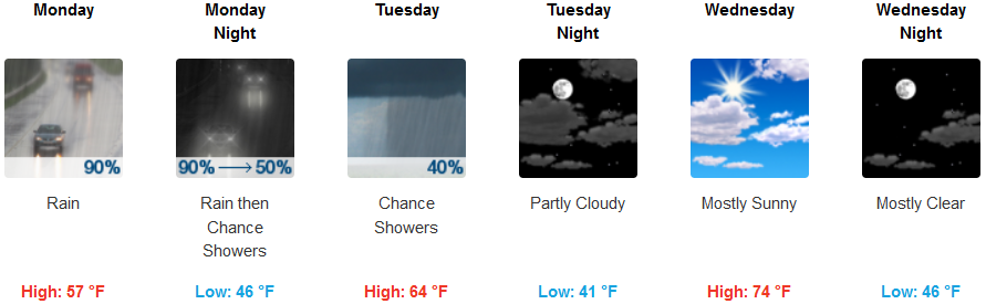
The bottom edge of a fast moving low pressure trough will move over the area with frontal rains forecast throughout the northern California and southern Oregon region through Monday night bringing cooler temperatures Wednesday morning.
The system started to produce rain over parts of the northwest Sunday evening and slowly moved over parts of Northern California by late Monday morning. The system is forecast to move to the east relatively quickly, however rain will continue to the north as the system moves out of the area.
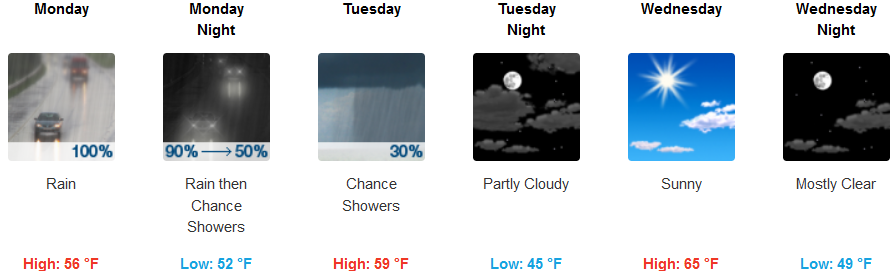
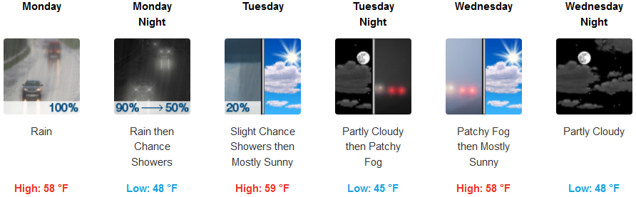
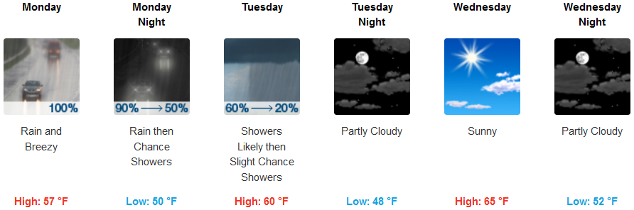
Inland, precipitation is expected Monday morning, increasing as the day progresses, continuing into Tuesday. Clearer skies will start Wednesday with high temperatures in the mid 60’s early in the week, rising to the mid 70’s Wednesday afternoon. Lows will continue to remain in the mid 40’s.
Along coastal areas, rain began Sunday evening, continuing into Tuesday. Tuesday evening the coast is forecast to see rain clouds dissipate and mostly sunny skies Wednesday. Temperatures will be cool with highs in the mid 50’s with lows in the low 40’s in most areas.
Brookings:
Crescent City:
Gold Beach:
Cave Junction:

Grants Pass:
Medford:
