

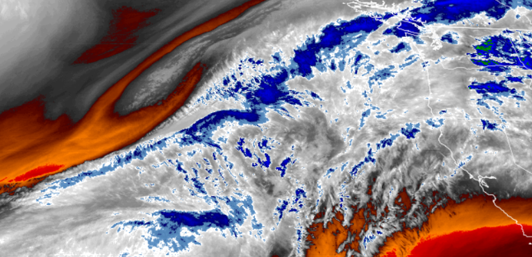
Overcast conditions from fog and stratus are expected to persist through late Sunday and into Monday with mostly cloud cover and some breezy winds expected east of the Medford area.
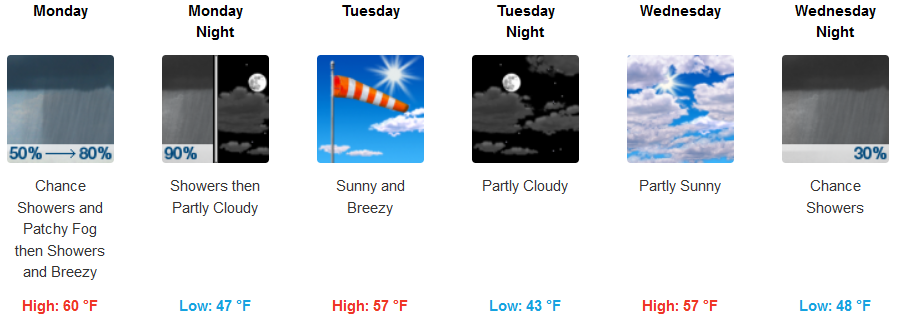
A front is forecast to move onshore Monday, bringing light rains to the regions snow is only expected on the higher peaks until Tuesday. Gusty winds are also expected along coastal areas, with some localized Wind Warnings north of Coos Bay.
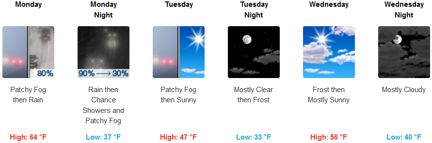
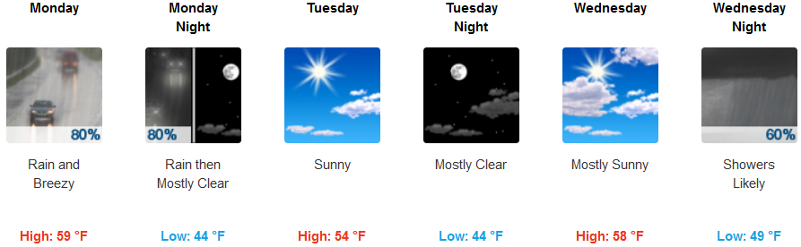
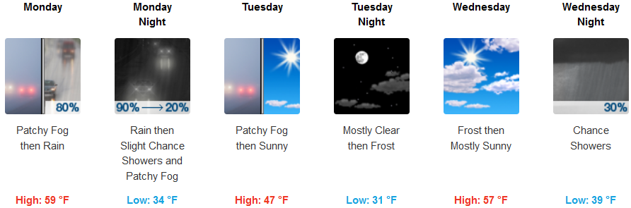
Inland areas can expect patchy fog before 10:00am with a light variable wind becoming south 5 to 10 mph in the morning. This new frontal system is relatively warm, with snow levels possibly at the highest passes. Temperatures will be in the mid 60’s, however, behind it an unstable air mass will drop temperatures to near freezing by mid-week. High’s are forecast to be in the low 60’s to start the week, dropping to the low 50’s by midweek, with lows in the low to mid 30’s.
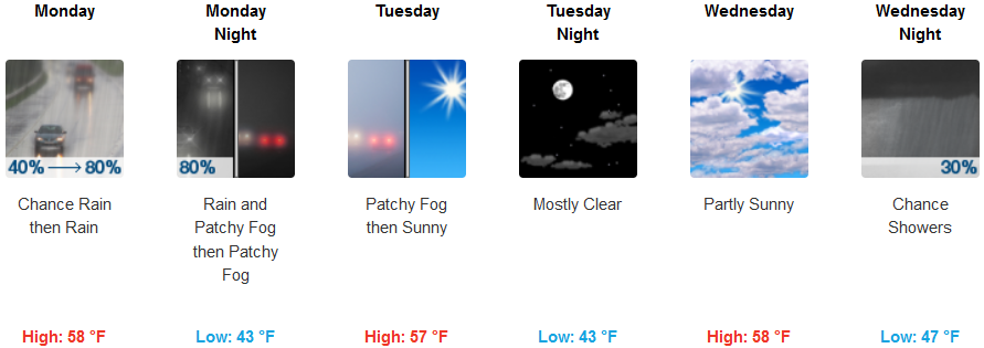
Areas along the coast can expect chances will begin early Monday, increasing into Monday evening as the day progresses as the bottom of the low pressure bringing heavy amounts of precipitation to the north,stretches south before moving out of the area. Precipitation in the southern Oregon and northern California should be minimal, clearing Tuesday before another chance of rain moves into the area midweek. Temperatures will be in the upper 50’s for highs to start the week, dropping to the low 40’s for early morning lows.
Brookings:
Crescent City:
Gold Beach:
Cave Junction:
Grants Pass:

Medford: