

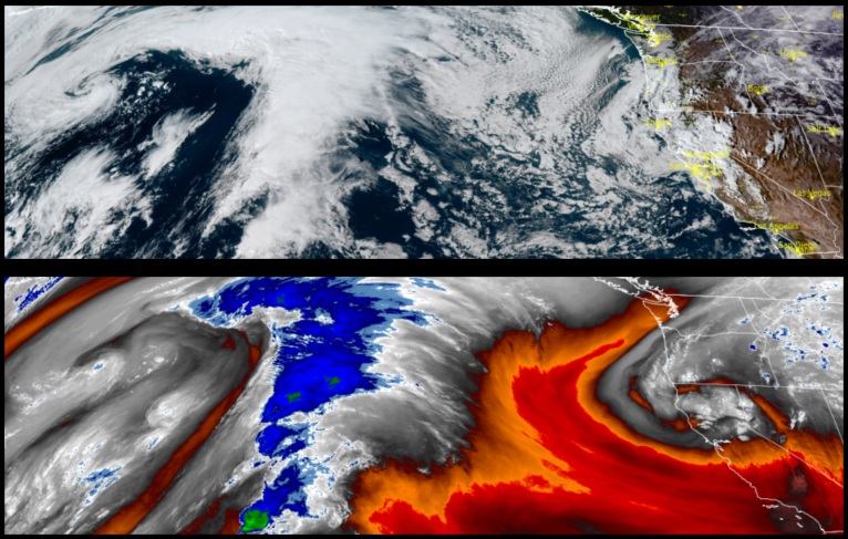
A ridge of high pressure has moved over the region providing a short break in between weather systems to start the work week before another round of wet weather is forecast to move in by mid week.
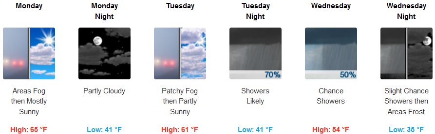
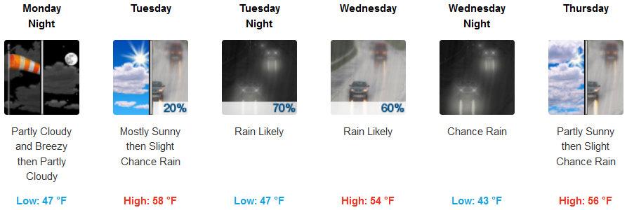
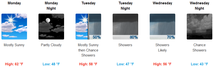
Inland, skies should continue to see clear to partly cloudy skies to start the work week with noticeably cooler temperatures before the next system moves in with significant chances of rain forecast to move inland beginning Tuesday. Temperatures will remain cool with lows in the low 40’s getting down t the mid 30’s later in the week with highs starting in the low 60’s and dropping into the mid 50’s by mid week.
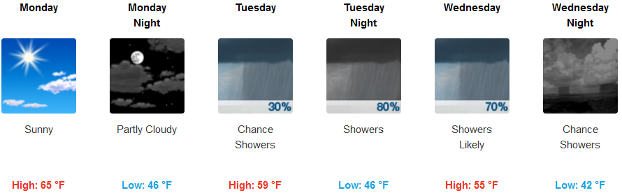
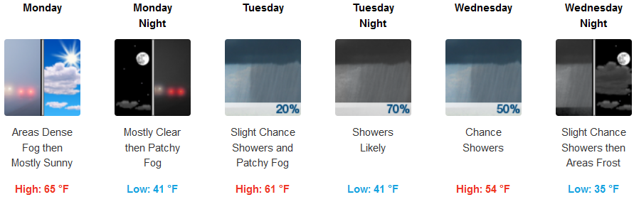
Along the coast, partly cloudy skies are expected to give way to a new weather system starting early Tuesday with rain beginning Tuesday night continuing into Wednesday. Localized fog is expected along the coast before Wednesday, with afternoon high temperatures in the mid 60’s Monday, falling into the mid 50’s by mid week with lows in the mid to upper 40’s.
Brookings:
Crescent City:
Gold Beach:
Cave Junction:
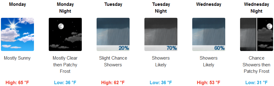
Grants Pass:
Medford: