

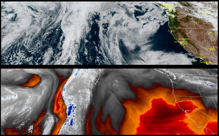
The precipitation going into the weekend moved to the east earlier in the week, taking with it cooler air and cloudy skies which given way to clear skies and a sharp warm in temperatures over the last day and is forecast to continue into the weekend before a front with more precipitation expected on the coast as the weekend progresses.
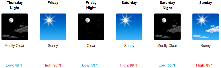
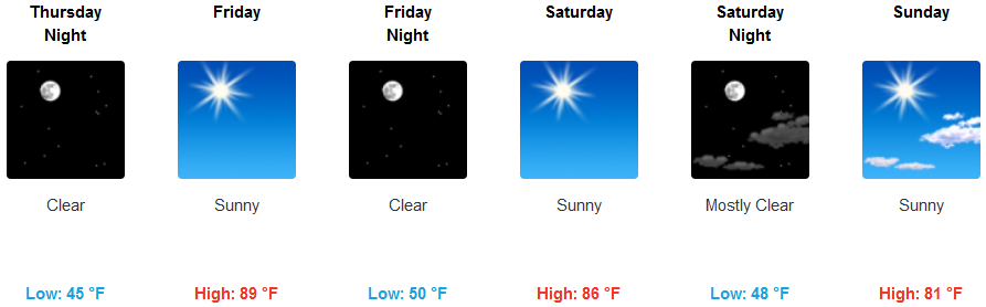
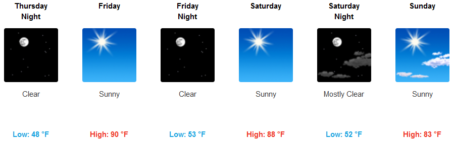
Inland areas can expect warmer temperatures to continue into the weekend as partly cloudy skies continue late into the weekend. Temperatures are expected to be in the in mid 50’s for lows, with afternoon highs increasing to the upper 80’s and low 90’s later in the weekend.
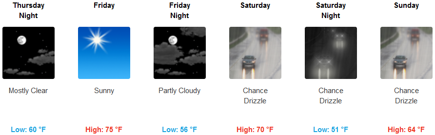
Along the coast, the quick moving weak front moved through Monday and on to the east earlier in the week leaving partly cloudy skies and warming. Temperatures are expected to stay warm through the weekend eventhough some level of light precipitation is expected as early as Saturday, with afternoon high temperatures in the upper 70’s mid week, dropping to the mid 60’s as the weekend progresses.
Brookings:
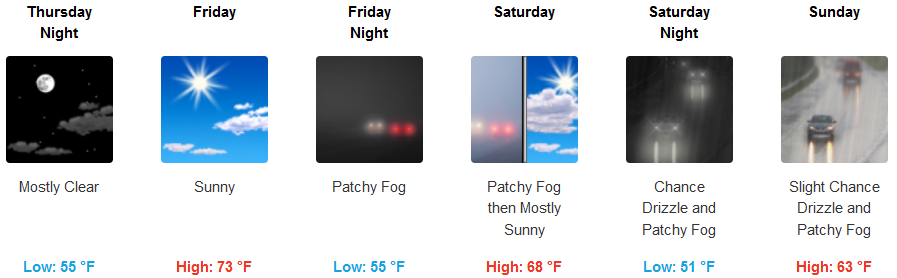
Crescent City:
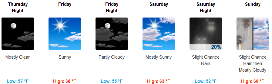
Gold Beach:
Cave Junction:
Grants Pass:
Medford: