

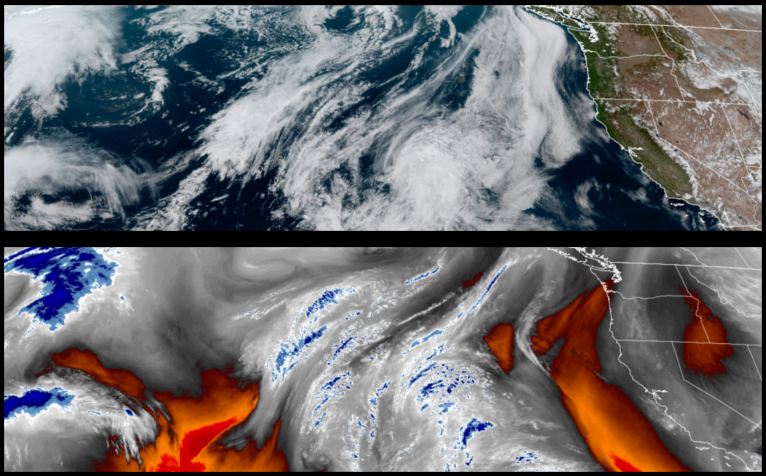
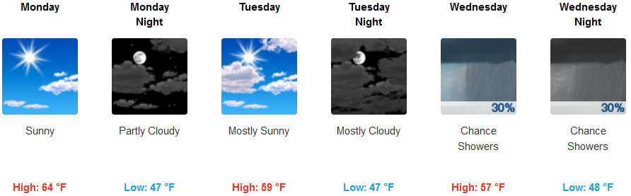
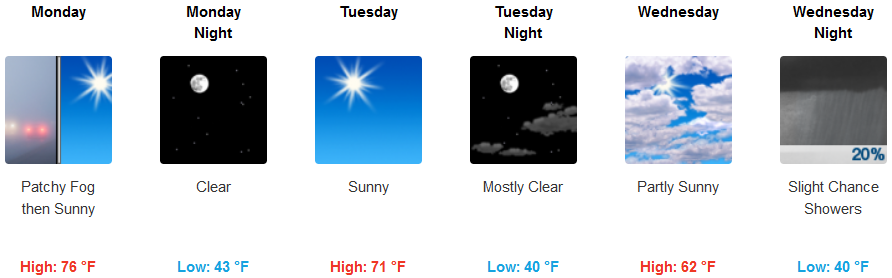
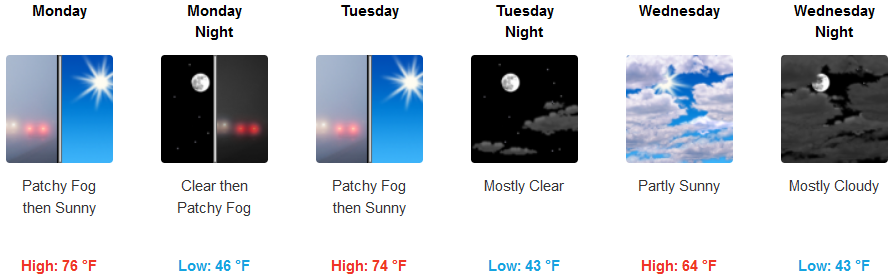
The upper level trough of high pressure off the coast is forecast to continue the pattern of warm and dry weather conditions throughout the northern California and southern Oregon region well into mid-week before off shore status begins to move into the region behind the high pressure with the possibility of showers late mid-week.
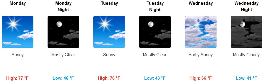
Inland areas are expected to see localized areas of dense morning fog before mostly afternoon clear skies through the middle of the work week. Temperatures are forecast to remain mild with morning lows in the mid 40’s and afternoon highs reaching the mid 70’s before cooling afternoon highs the mid 60’s mid-week and lows in the mid 40’s.
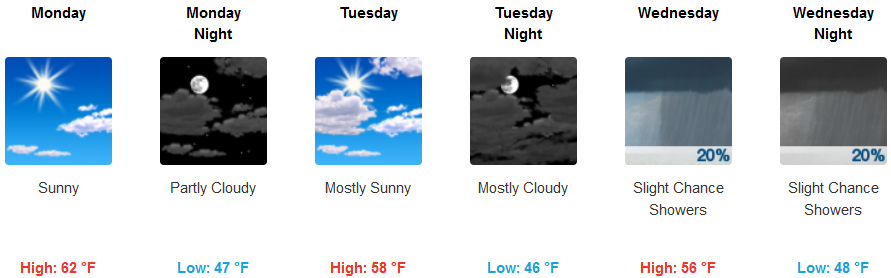
Mostly clear skies are forecast along the coast into mid-week with stratus moving off-shore as high pressure moves east, bringing a slight chance of showers late Wednesday. Morning lows will be in the mid 40’s consistently, with afternoon highs reaching the low 60’s early in the week dropping to the mid 50’s as the week progresses.
Brookings:
Crescent City:
Gold Beach:
Cave Junction:
Grants Pass:
Medford: