

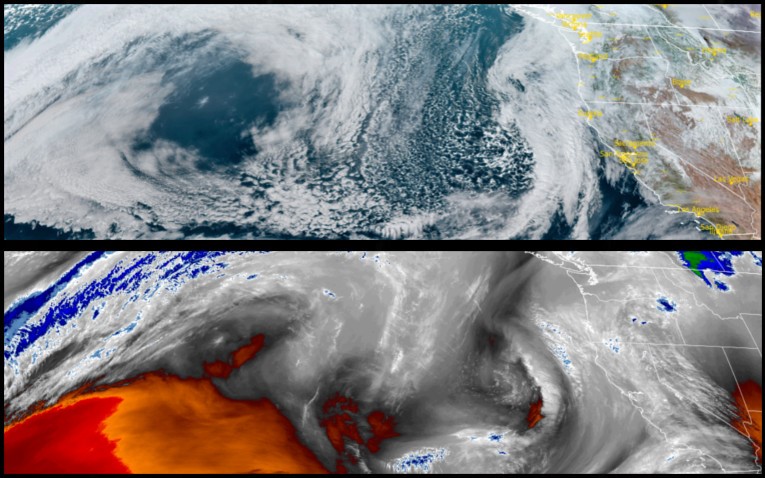
A very weak and fast moving front is forecast to sweep through the region late Thursday and early Friday morning bring a very very slight chance for precipitation. However, the air behind this front will again usher in cold mornings and little or no precipitation through out the weekend.
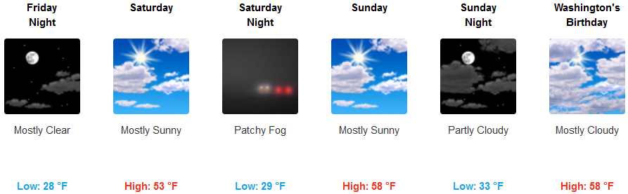
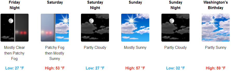
Inland areas can expect cold mostly clear skies with a slight variable winds with little to no chance for precipitation through the weekend. Low lying areas should expect localized areas of patchy fog in the mornings and again later in the evenings as the weekend progresses. High temperatures will only reach the mid 50’s with lows getting into the mid to upper 20’s.
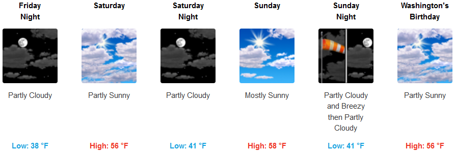
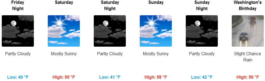
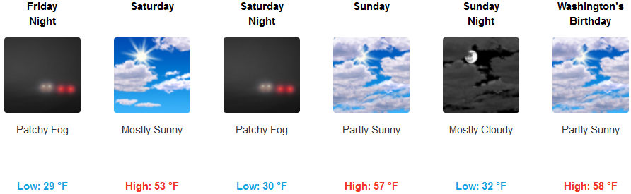
Along the coast, skies will be partly cloudy to mostly sunny with a 5-10 mph northeast wind through the weekend. Again this front is not expected to produce precipitation, however, some localized showers could be possible as the unstable cold air presses onshore. Again temperatures, though cold, are not forecast to be as cold as interior lows. Areas of localized fog could be possible with low temperatures in the mid to upper 30’s, and highs getting to the upper 50’s.
Brookings:

Crescent City:
Gold Beach:
Cave Junction:
Grants Pass:
Medford: