

Air Stagnation Advisories will remain in effect over much of southern Oregon as a ridge of high pressure continues to influence weather patterns over the region. Early morning fog in low lying areas will continue as minimal air circulation allows air to stagnate.
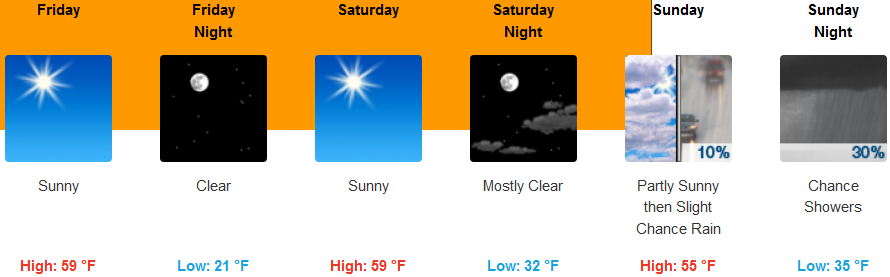
Inland areas are forecast to see clear skies and cool temperatures as the high pressure system slowly begins to move out of the region to the east. Cool mornings and warmer afternoons will dominate the weather pattern into the weekend, before a small chance of precipitation enters the forecast late Sunday. High temperatures are forecast to be in the upper 50’s to 60, with very cold early morning lows in the upper 20’s.
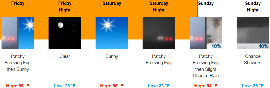
Along the coast, sunny skies will with partly cloudy skies as the weekend progresses before a significant chance of precipitation enters the area Sunday. Mild temperatures will continue with lows only getting to the low 40’s, as high temperatures reach 60 in some areas.
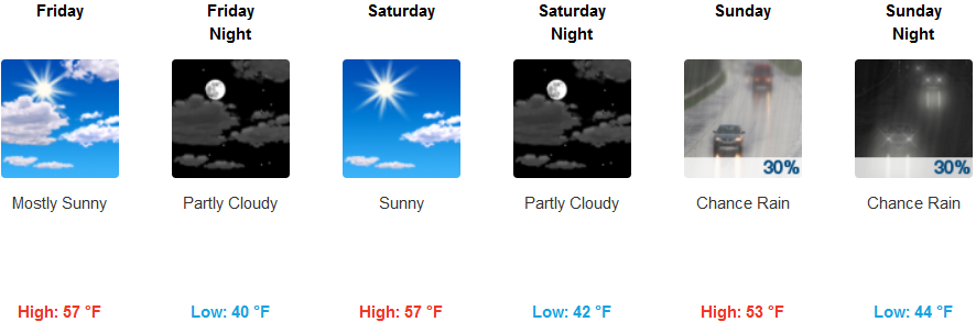
Brookings:
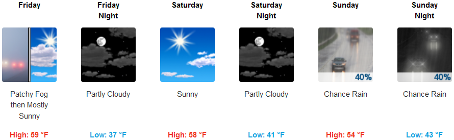
Crescent City:
Gold Beach:

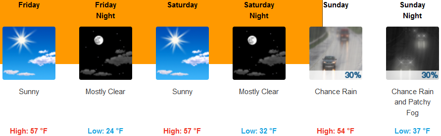
Cave Junction:
Grants Pass:
Medford: